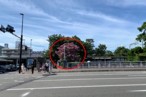
The sign was near the Koyōen six-way intersection, close to the “Shin-Koyō-guchi” bus stop!
On the map, it’s around here↓
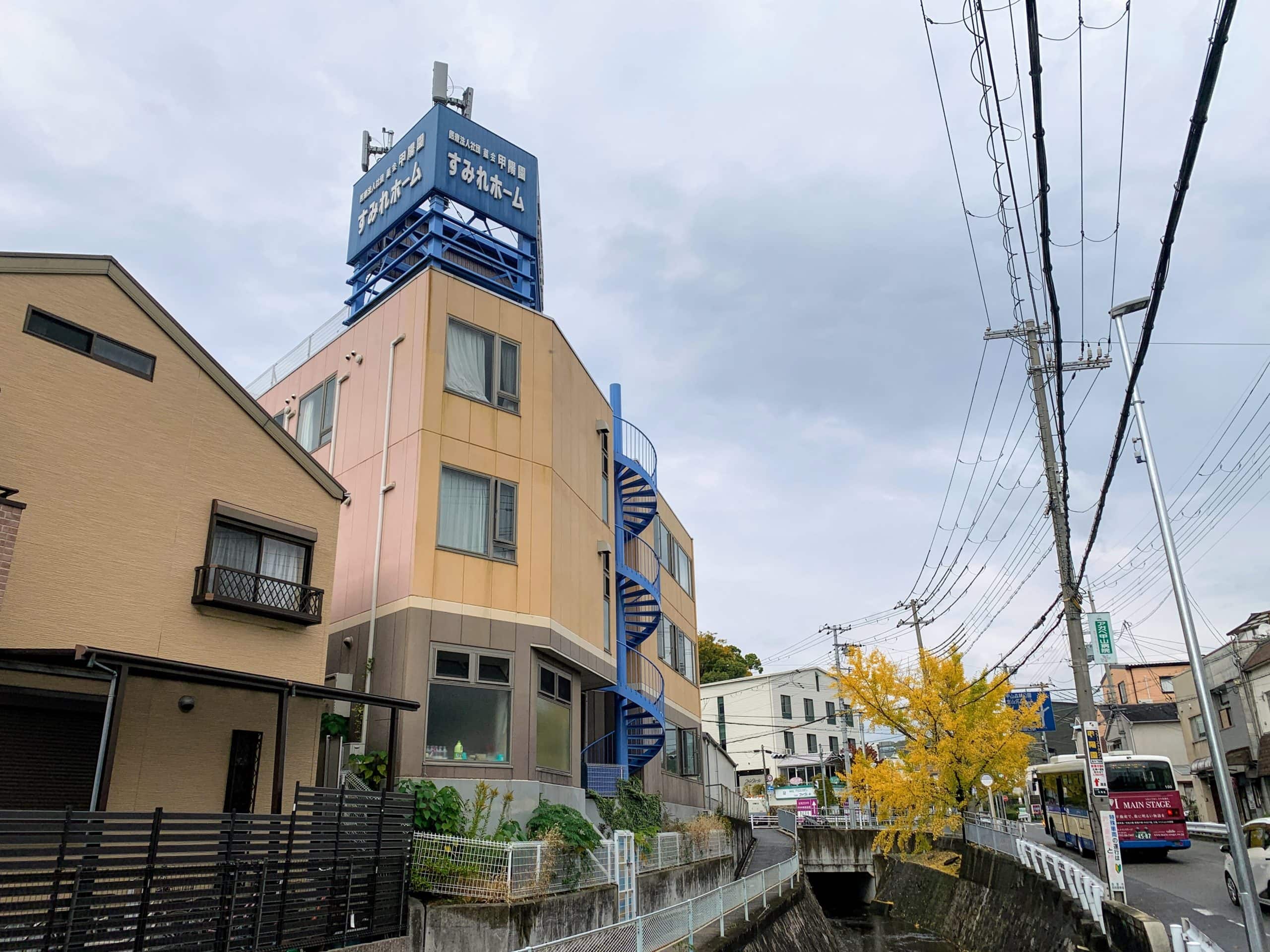
Looking upstream, the river is still flowing, so it doesn’t feel like it ends here.
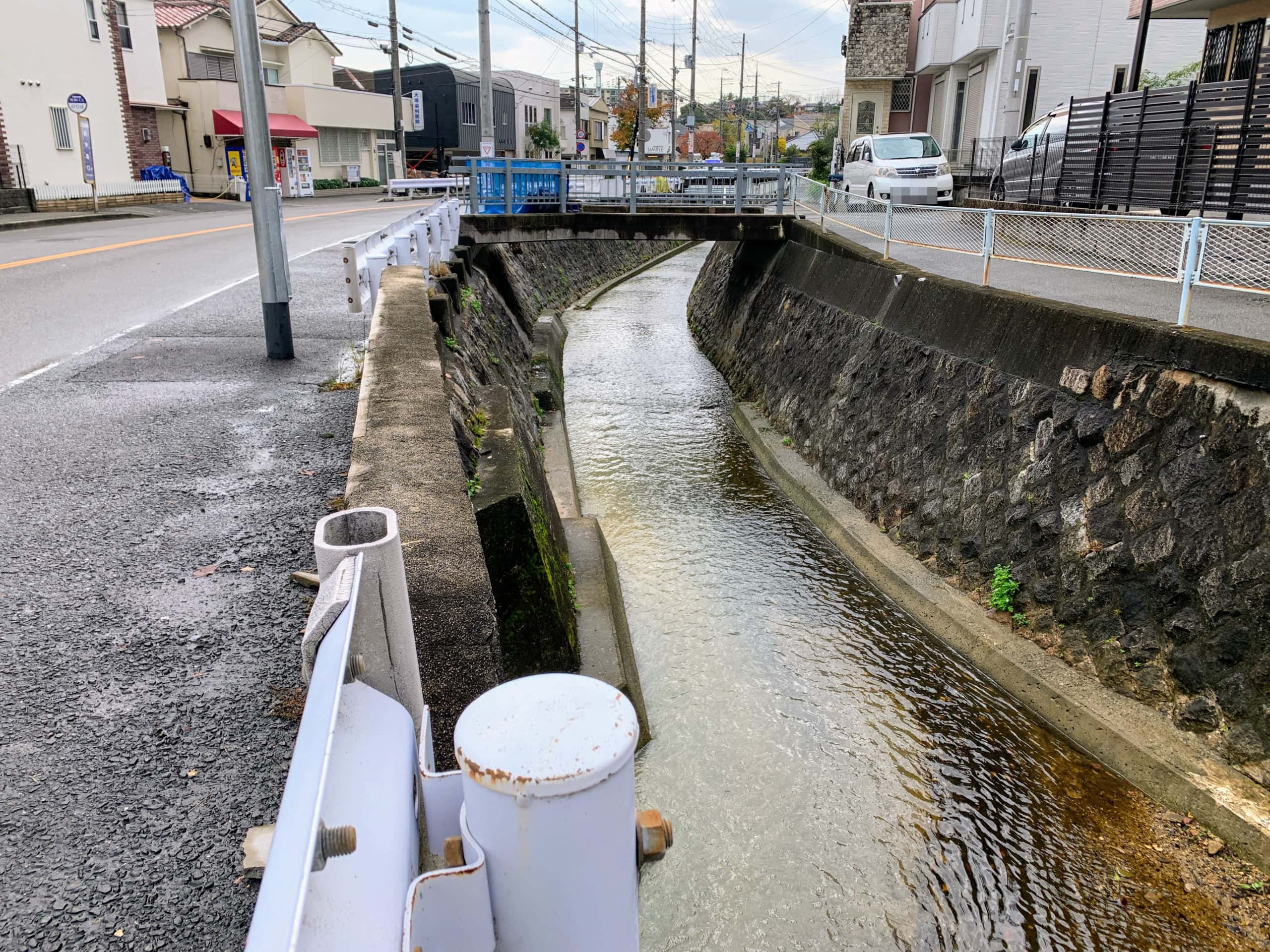
Downstream, there isn’t anything particularly different either, like the current suddenly getting faster ^_^;
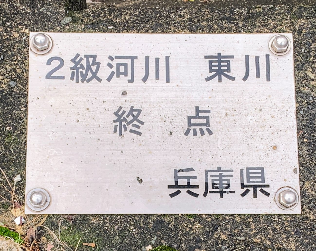
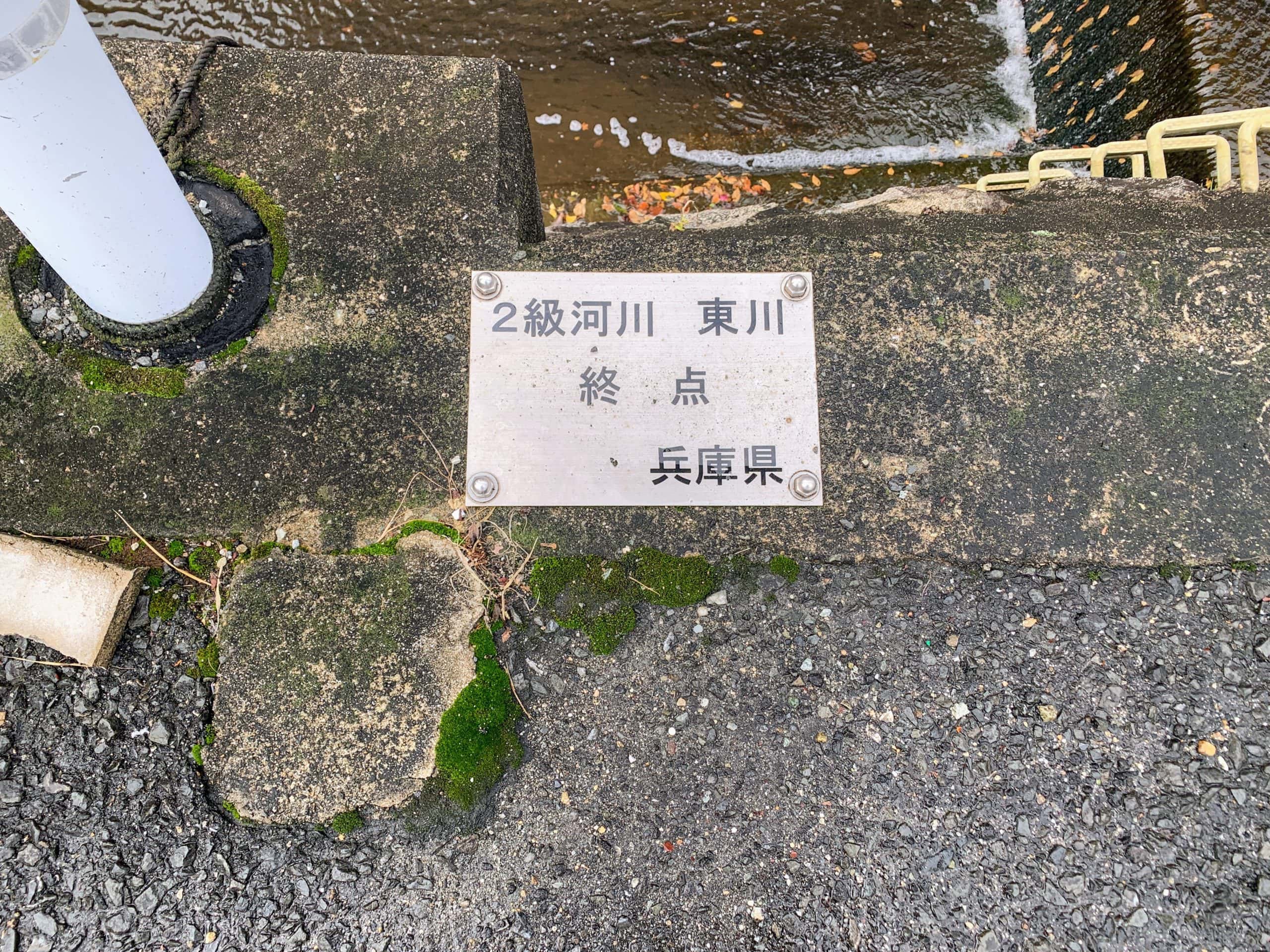
The Higashi River flows north to south through roughly the middle of Nishinomiya City and continues all the way to the sea. It’s about 5.3 km long and is a Class B river!
It feels like the mystery is hidden in that “Class B river” part (*^^)v
To put it simply, a Class B river is “an important river that affects everyone’s daily lives,”
and it means “a river designated by the prefectural governor because it needs to be managed under river law” ^^;
So that means up to this point, it’s a river managed by Hyogo Prefecture ヽ(^o^)
In other words, as the Class B Higashi River, this is the endpoint! The end! That’s what this marker plate means.
But, but!
If I’m not mistaken,
this wasn’t the Higashi River, but the Mitarashi River!
A survey for those who know this area
- 東川15.8%(15票)
- 御手洗川84.2%(80票)
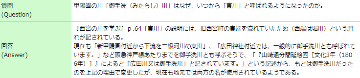
According to the Collaborative Reference Database↓
Screenshot from the Collaborative Reference Database
That got a little off track, but
this was the story of finding an endpoint that isn’t actually the end of the river (^^ゞ