


Welcome to “I Saw Kabutoyama,” a section where you can get that “Oh, so this is what Kabutoyama looks like from here!” feeling.
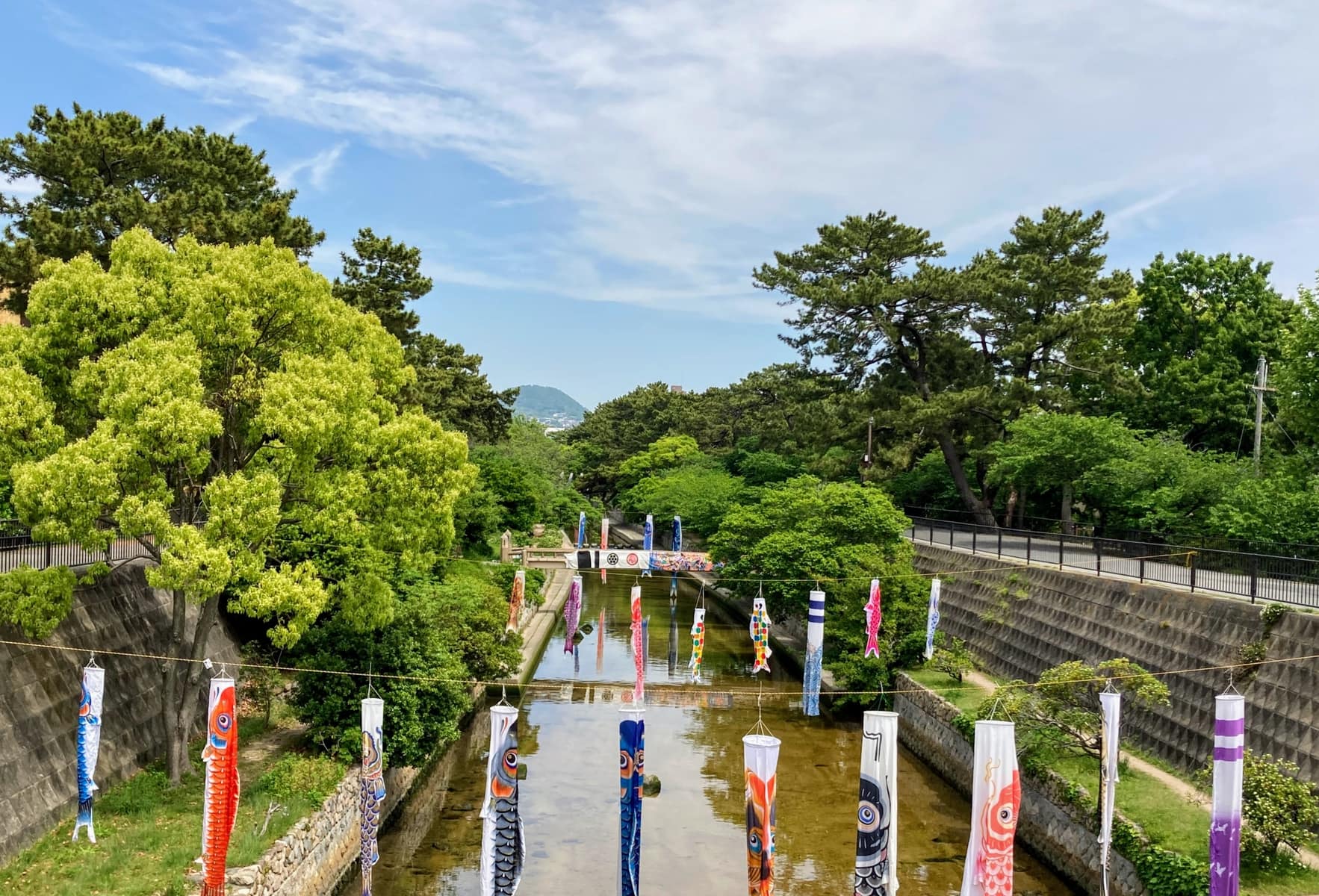
This time, it’s Kabutoyama as seen from Hamashukugawa Bridge on the Rinko Line, which spans the mouth of the Shukugawa River〜.
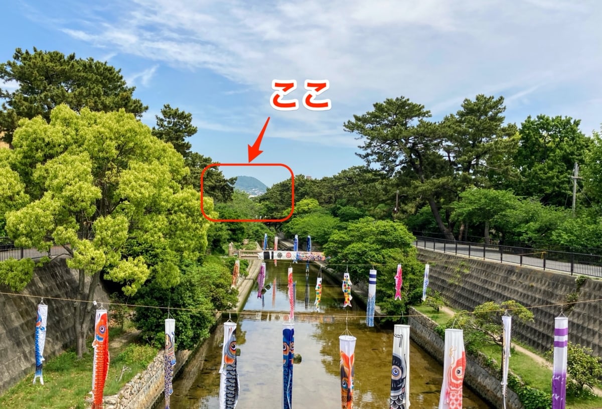
On Children’s Day, while I was wandering around Shukugawa following the carp streamers, I spotted it behind the koinobori〜!
Here it is on the map↓
The address is around 1 Shimoyoshihara-cho, Hyogo Prefecture.
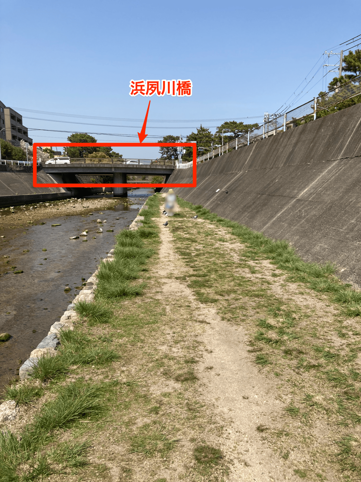
Right behind Hamashukugawa Bridge are Omaehama and Koroen-hama. Once you get all the way to the sea, Kabutoyama wasn’t visible, so along the Shukugawa River, Hamashukugawa Bridge may be the southernmost photo spot.
Finally
The straight-line distance from here to Kabutoyama is about 6.4 km (according to Google Maps).
In front, there are mountains; behind, there is the sea.
Ah, Nishinomiya really is a lovely place full of nature〜♡
If you have a favorite spot for viewing Kabutoyama, please let us know〜.