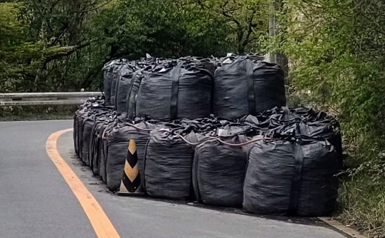
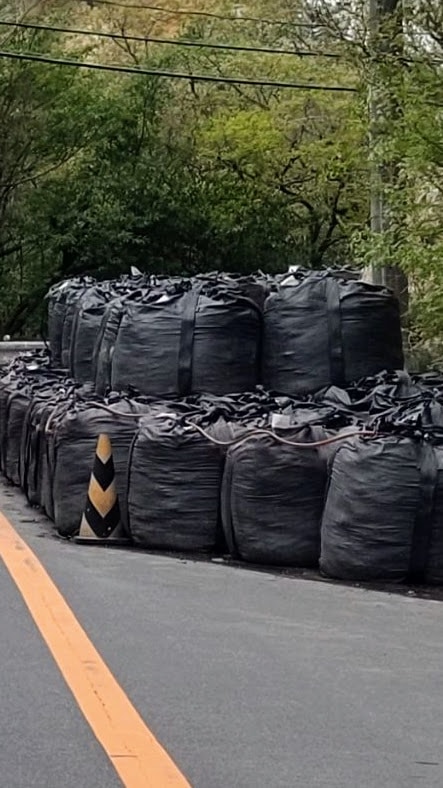
Here are photos of the landslide area near Hakusuikyo, which was closed to traffic on April 7.
(This information was provided by Sasako. Thank you very much!)
Location-wise, it seems to be on Prefectural Route 51 (Hakusuikyo to Funasaka Bridge).
Here it is↓
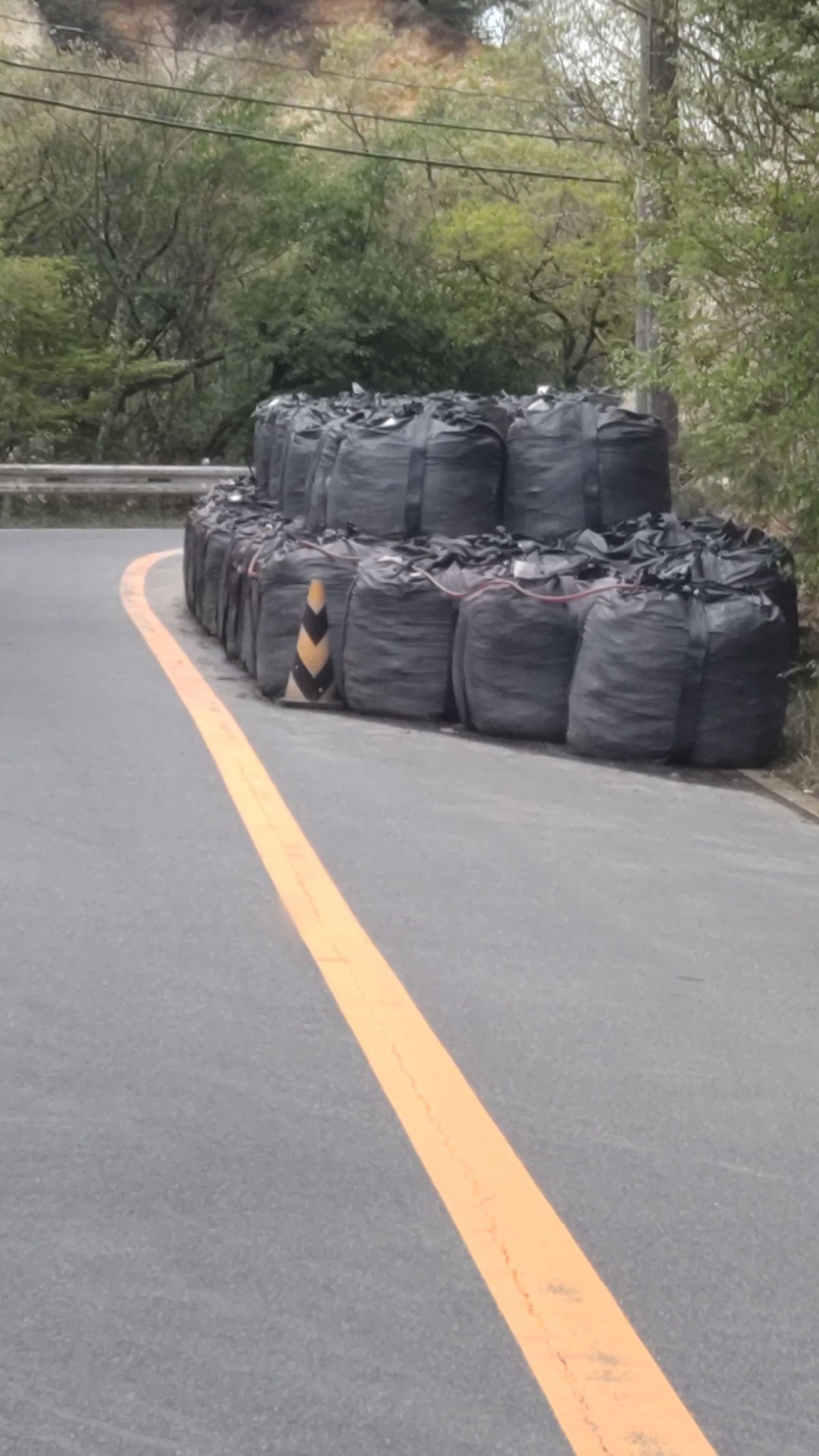
Huge sandbags have been placed there. Since they’re large enough to block the road, they must be really massive.
The road closure was lifted on Monday, April 17, and traffic is now alternating in one direction at a time.
Here it is on the map↓
The address is around Nakano, Yamaguchi-cho, Hyogo Prefecture.
It’s almost right on the border between Nishinomiya and Kobe, but apparently it was within Nishinomiya City.
Lastly
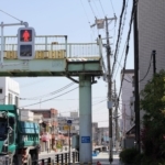
According to Sasako, there was a traffic light with a countdown, like “○ seconds remaining!” Once it turns green and says GO, you can start moving! Being at the front must be nerve-racking.
Although the road is now open to alternating one-way traffic, it seems there still isn’t enough width for route buses to pass safely. The Sakura Yamanami Bus (Arima route) is continuing to operate on a detour. The following bus stops are currently suspended.
・Suspended bus stops: Arima Higashiguchi, Yamadayama, Matsuo Bridge, Hakusuikyo Boen-mae
→For details, visit the Nishinomiya City website
(This information was provided by Sasako. Thank you very much!)