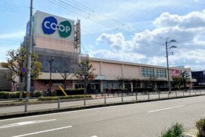


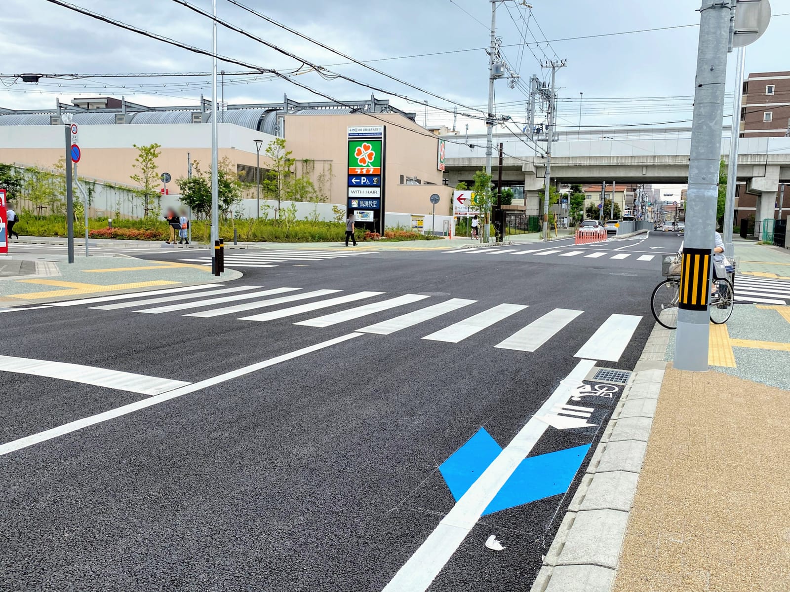

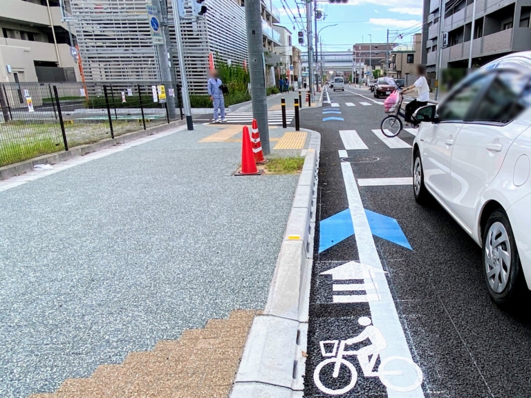
From the northwest corner of “ライフ阪神鳴尾店” in Satonakacho, “bicycle pictograms” have appeared on the roadway along Hongo Gakubun-suji!
This article is brought to you with the support of Nishitsu by the dental clinic “年中無休の西宮北口歯科口腔外科 .”
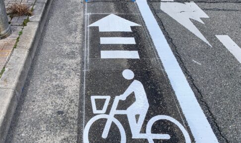
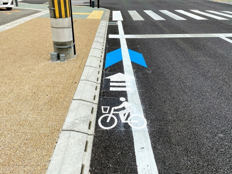
The guide lines are still there, so maybe they were just painted🙄?
Here’s the map↓
It’s the section along Hongo Gakubun-suji, from the northwest corner of Life Naruo to the intersection with the Old National Route.
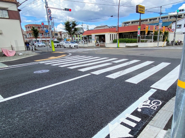
The northernmost bicycle pictogram is here, at the Old National Route intersection. It’s where “ココス西宮鳴尾店” is located.
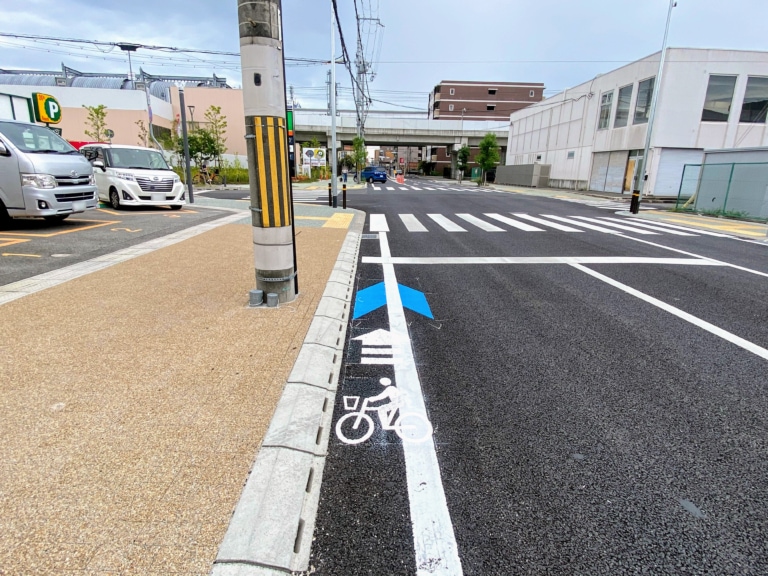
To the south is the intersection at the northwest corner of Life Naruo.
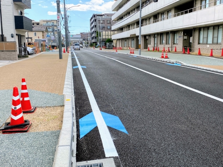
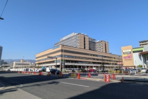
This is the middle section where the bicycle pictograms are painted, in front of Meiwa Hospital.
At intersections and endpoints, there are markings showing a person riding a bicycle, and along the way there are blue arrow-like markings.
Omitted
※ Captured from the Nishinomiya City Bicycle Usage Environment Improvement Plan
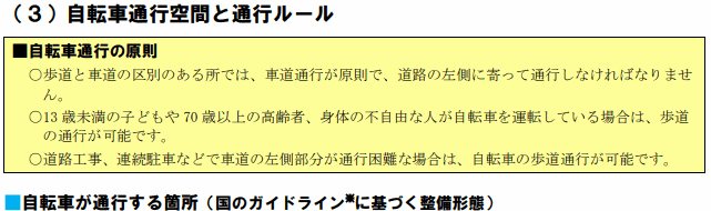
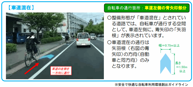
Since the Bicycle Usage Environment Improvement Plan is being carried out in various places around the city, we may be seeing more of these bicycle markings in the future!
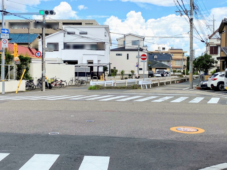
According to the plan map, it looks like dedicated lanes will also be added in the future on the road beyond the Old National Route, toward the Kozone Line!
The roadway gets narrow beyond here, so I wonder what it’ll look like〜?🤔
It’s narrower than the dedicated lane in front of City Hall, with barely enough width for a bicycle to pass through! A little scary…😰
For details→ “Nishinomiya City Bicycle Usage Environment Improvement Plan”
Finally
If pedestrians, bicycles, and cars each have their own separate paths, it seems like we can expect fewer accidents, so I hope the improvements move forward quickly!
The bicycle markings are easy to understand, but please be sure to remember the “blue arrow markings” too〜🙋