


A series that simply introduces the borders between Nishinomiya City and neighboring cities [Nishinomiya City Borders] By the way, 市境 is apparently read “shikyo,” not “shizakai.” Though you can’t convert it that way when typing.
This article is brought to you by “Nichinoken,” a cram school supporting Nishitsu.
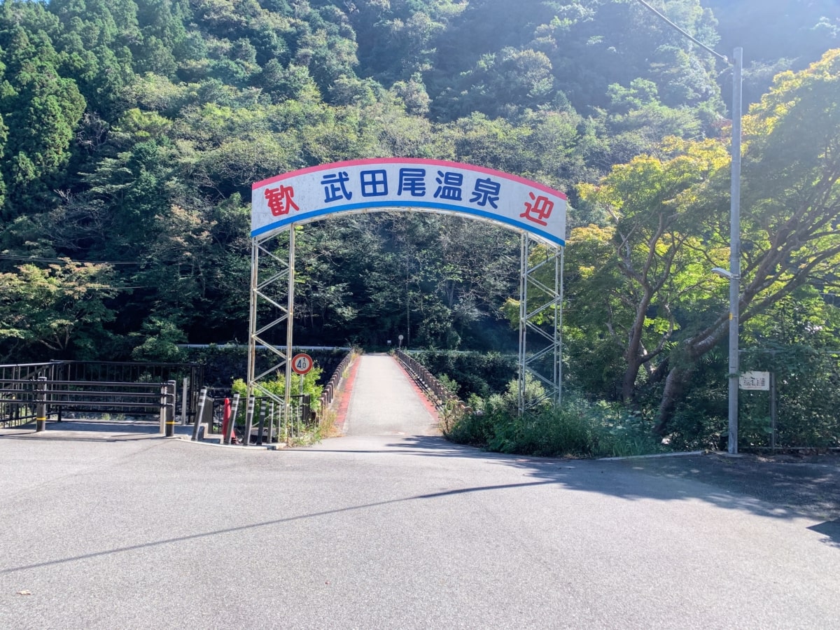
This time, it’s a city border you reach while being welcomed to Takedao Onsen!

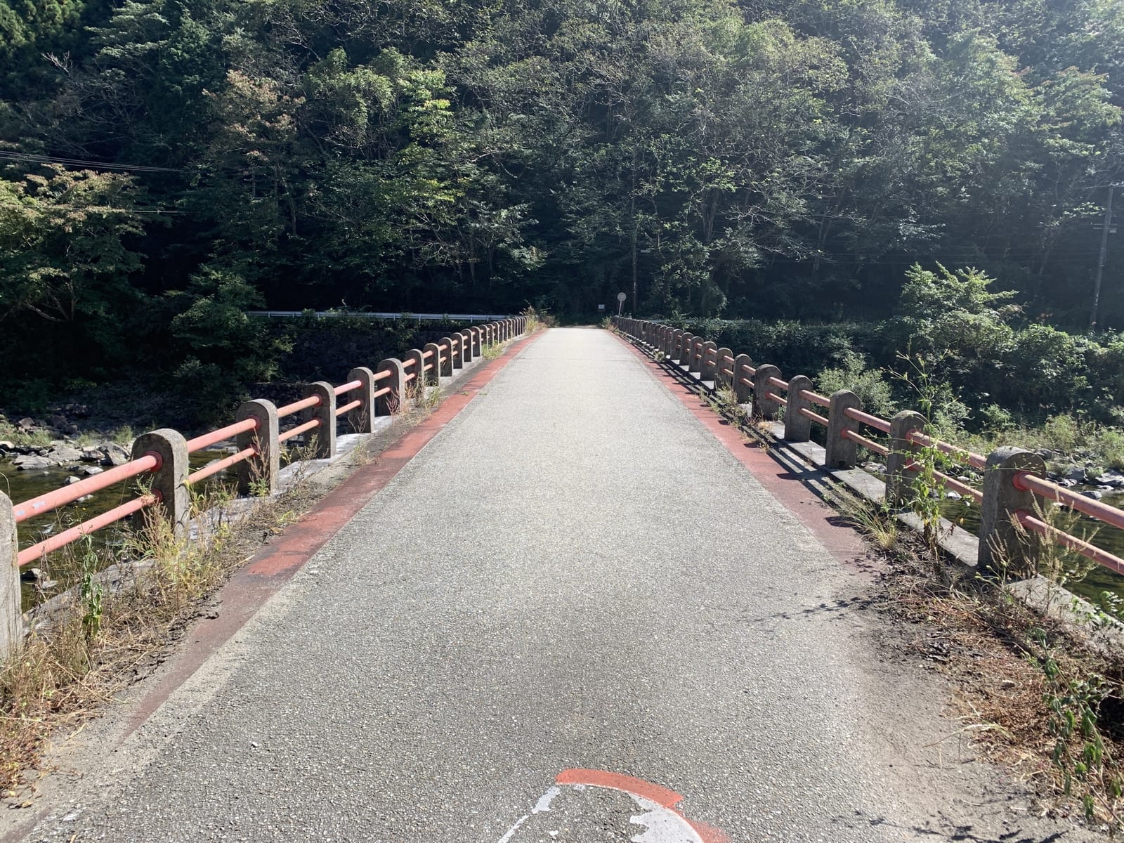
The city border is around the middle of the bridge, and the far side is Nishinomiyaaa~(^_^)/
Here it is on the map↓
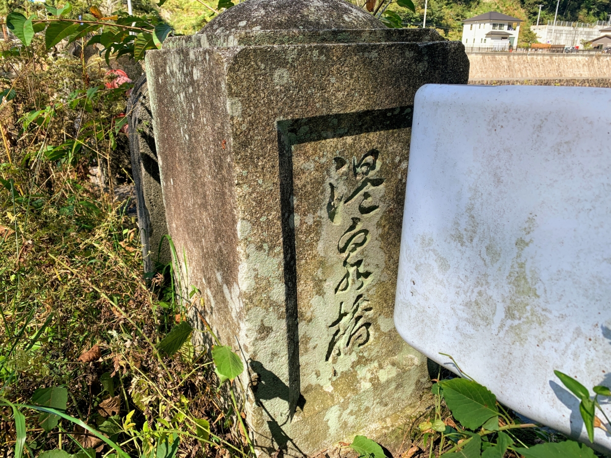
By the way, the bridge is called Onsen Bridge, and it was built in February of Showa 9 (1934).
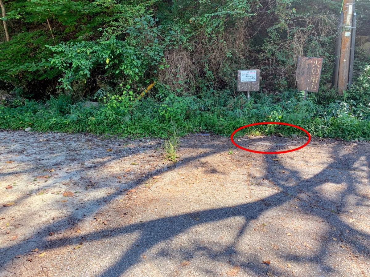
After crossing the bridge, at a spot that’s clearly inside Nishinomiya City,
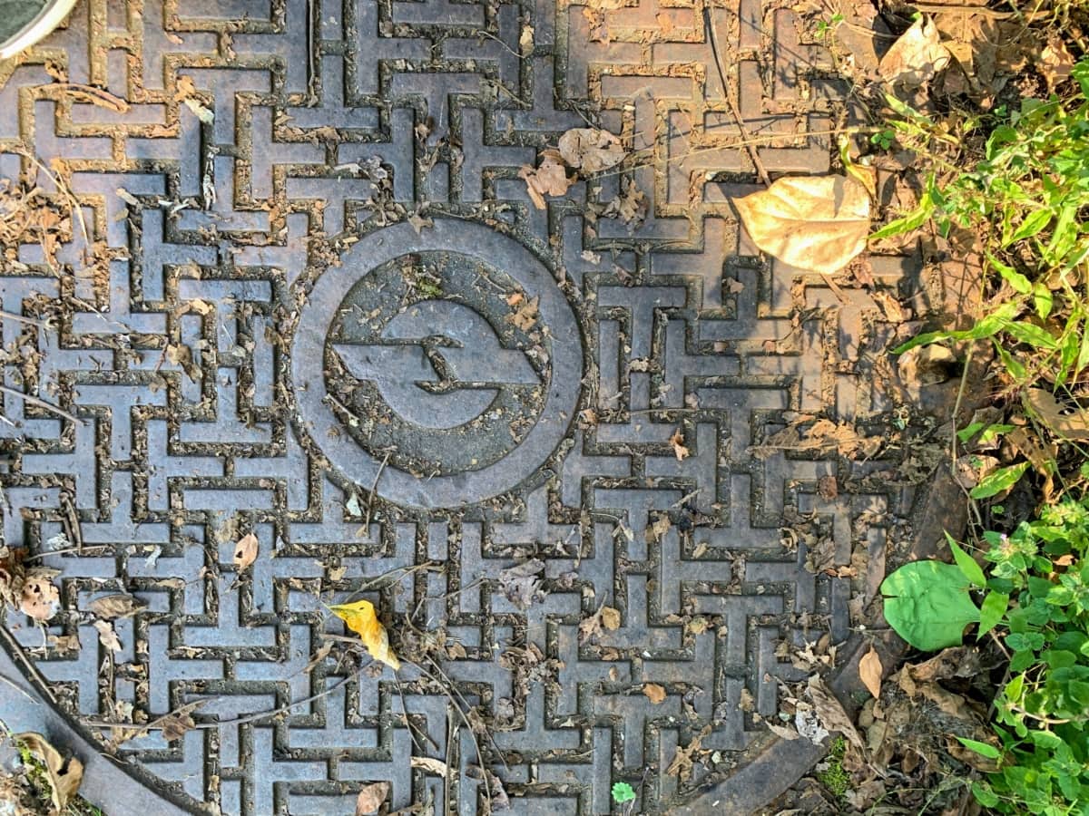
we found a manhole cover that really doesn’t look like it belongs to Nishinomiya City!
I looked it up, but it wasn’t from Takarazuka, Sanda, Itami, or Kobe.
When I checked with Google Lens, it said manhole! I could figure that much out without being told ^^;
After looking really hard, I found out it was the mark of the Nippon Telegraph and Telephone Public Corporation. Today’s NTT!
Apparently, the mark was designed in 1949, and manholes with the T-shaped pattern became the nationwide standard in 1956 (^^)
I wonder how long it’s been here… it has that ancient-romance vibe though it’s probably not that grand ^^;
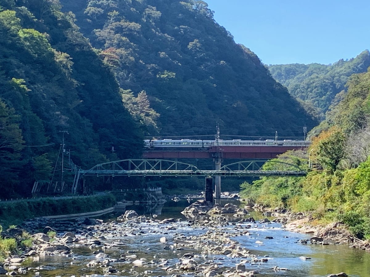
The view upstream along the Muko River (^^)
JR Takedao Station is right nearby. There were fish swimming in the river (^_^)/
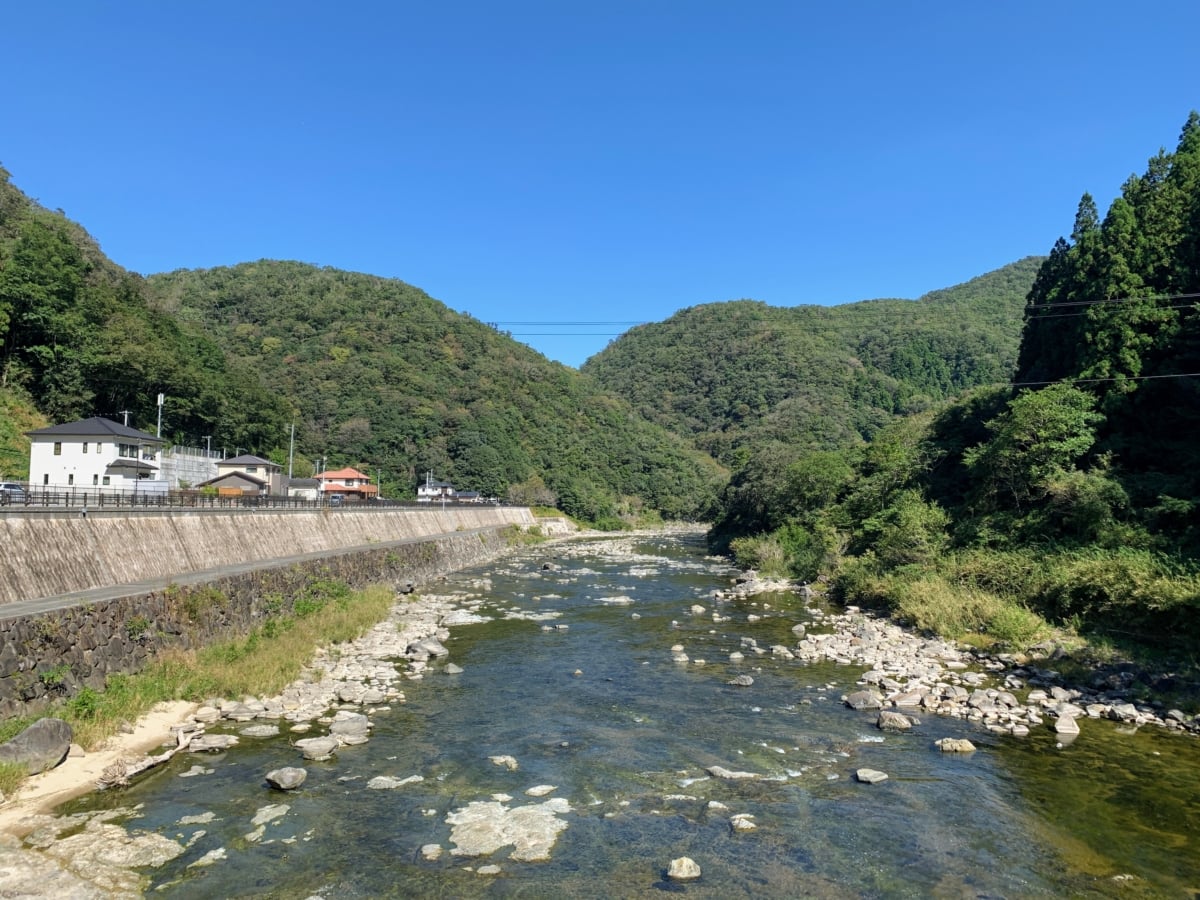
The view downstream… looks like autumn leaves are still a ways off ^^;
The entrance to the Fukuchiyama Line Abandoned Railway Hiking Trail is toward the back on the left!
Here’s Nishitsu’s article↓
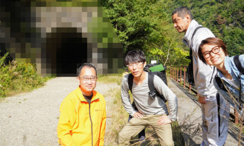
The mornings and evenings have suddenly gotten chilly, so autumn foliage season is almost here (#^.^#)