


I took these photos from the slope around Kamigaki-cho 10-chome.
It’s right on the border between Kamigaki-cho and Taisha-cho, but the spot I was standing in is Kamigaki-cho.
Here it is↓
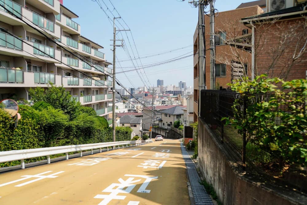
Right next to it is Taisha-cho Children’s Park. (Taishazaka no Ue Park is also nearby.)
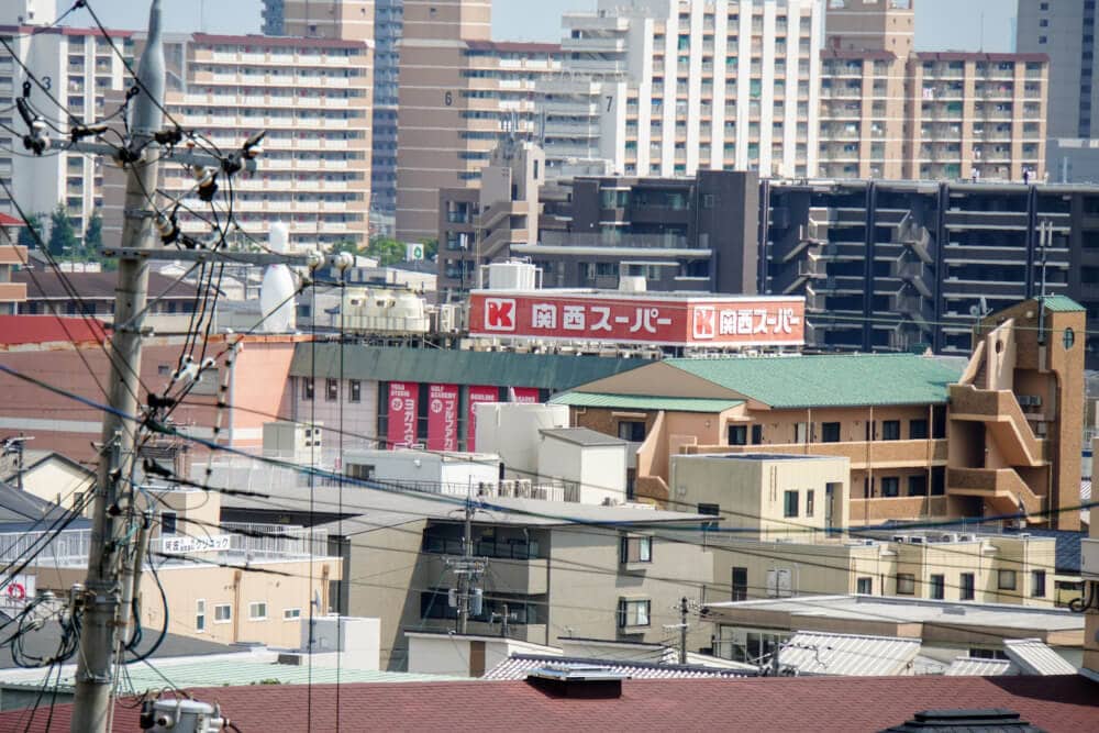
From this slope, you can also see Kansai Super Hirota Store.
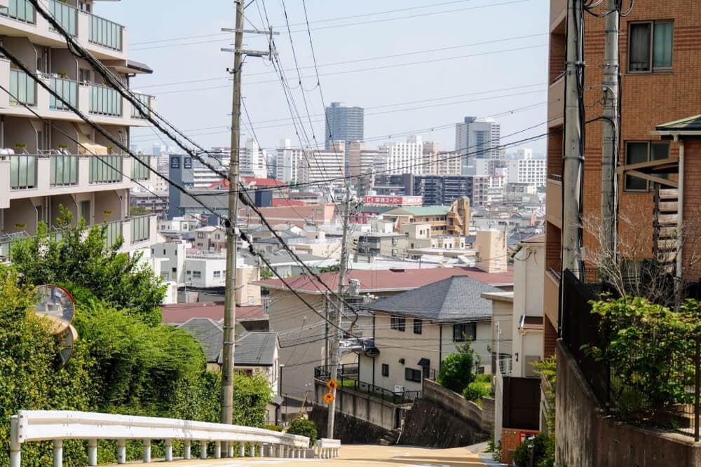
You may have noticed just how steep this slope is.(Does anyone have a name they call it?)
- (例)ひろた坂5.1%(6票)
- 黄色い坂65.8%(77票)
- 心臓破りの坂15.4%(18票)
- ジェットコースターの坂3.4%(4票)
- 坂上二郎5.1%(6票)
- 上ヶ原中の西の道0.9%(1票)
- オレンジ坂3.4%(4票)
- 泥棒坂0.9%(1票)
It looks so steep that going up is tough, of course, but even going down seems difficult. Still, it’d probably be good training for your legs.
But if one of those sudden downpours we’ve been getting a lot lately hits… even if you’re in a hurry, once you see this slope in front of you, you might just have to give up.
If there’s a slope in your neighborhood that makes you think, “this one is intense,” let us know.
- (例)大社町の広田山公園のちかく6.8%(5票)
- 神呪寺から南の住宅地に抜けて行くトコ15.1%(11票)
- 岩園トンネル南側の歩道17.8%(13票)
- 関学聖和キャンパスの坂道11%(8票)
- 愛宕山~高座町の間のバス通りの坂道5.5%(4票)
- 上ケ原病院の前4.1%(3票)
- ハルヒ坂15.1%(11票)
- 五段坂6.8%(5票)
- 苦楽園筋2.7%(2票)
- 苦楽園神社横2.7%(2票)
- 甲陽園目神山町4の坂2.7%(2票)
- どろぼう坂8.2%(6票)
- 五段坂上の西宮私道689号線の坂(新池に向かう丘のとこ)1.4%(1票)
Here it is on the map↓