If you live in Nishinomiya, you probably use National Route 171 quite often.
For many years, I thought National Route 171 merged with National Route 2 at the Fudabasuji intersection and ended there, but apparently that is not actually the case.
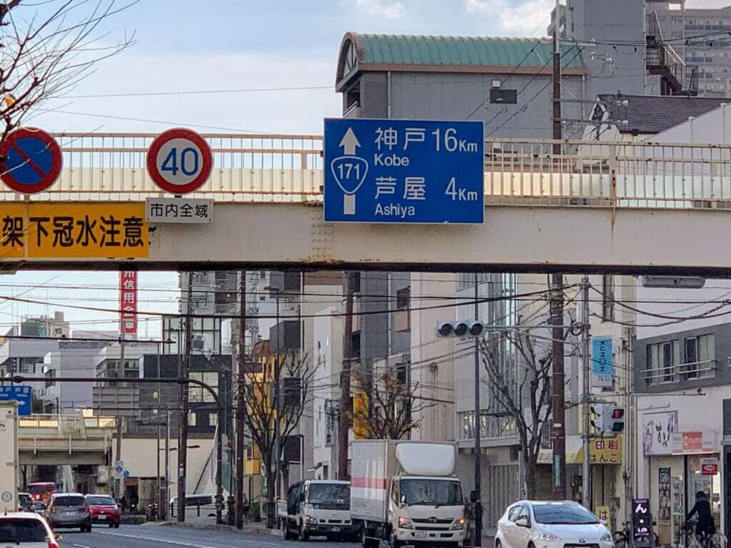
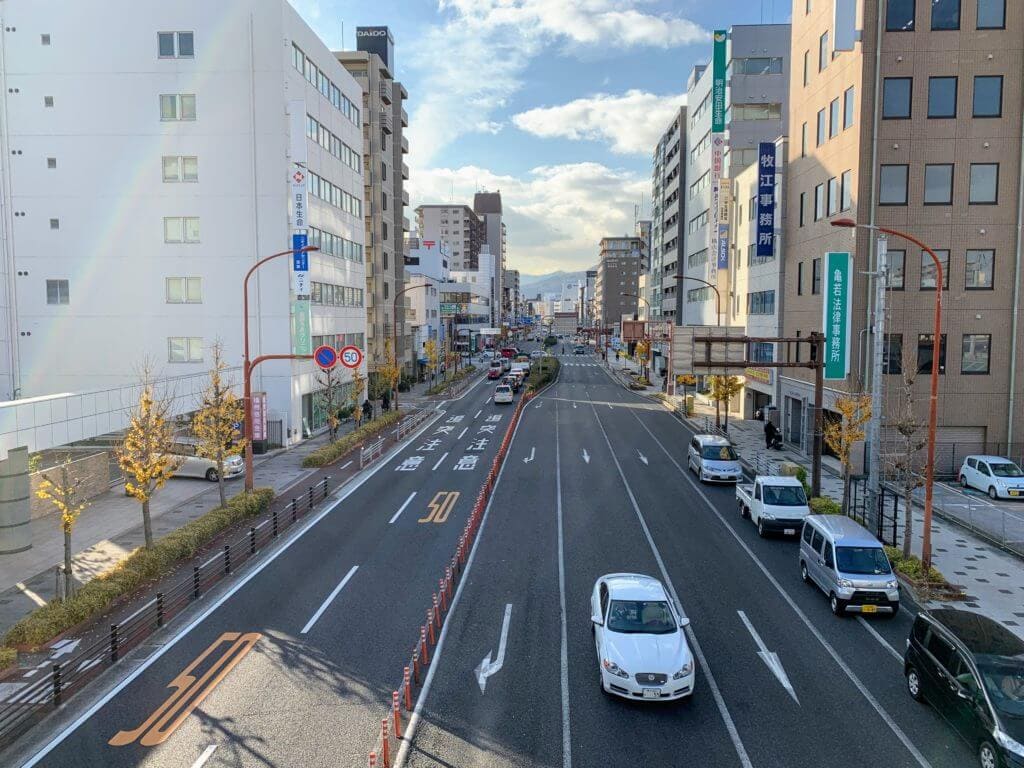
This is the familiar view of National Route 171.
It’s right around the Kansai Super area.
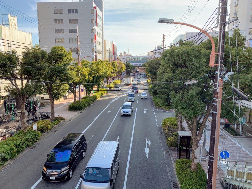
Let’s keep going.
The national route curves south here.
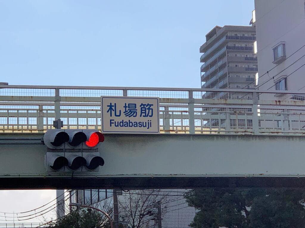
And then we arrive at the Fudabasuji intersection.
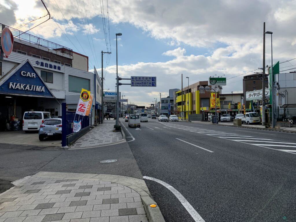
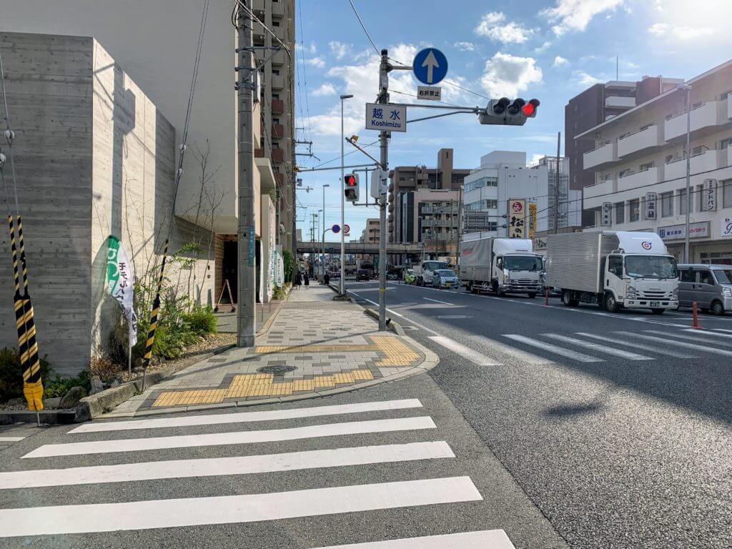
Let’s take a closer look at the road signs leading up to this point.
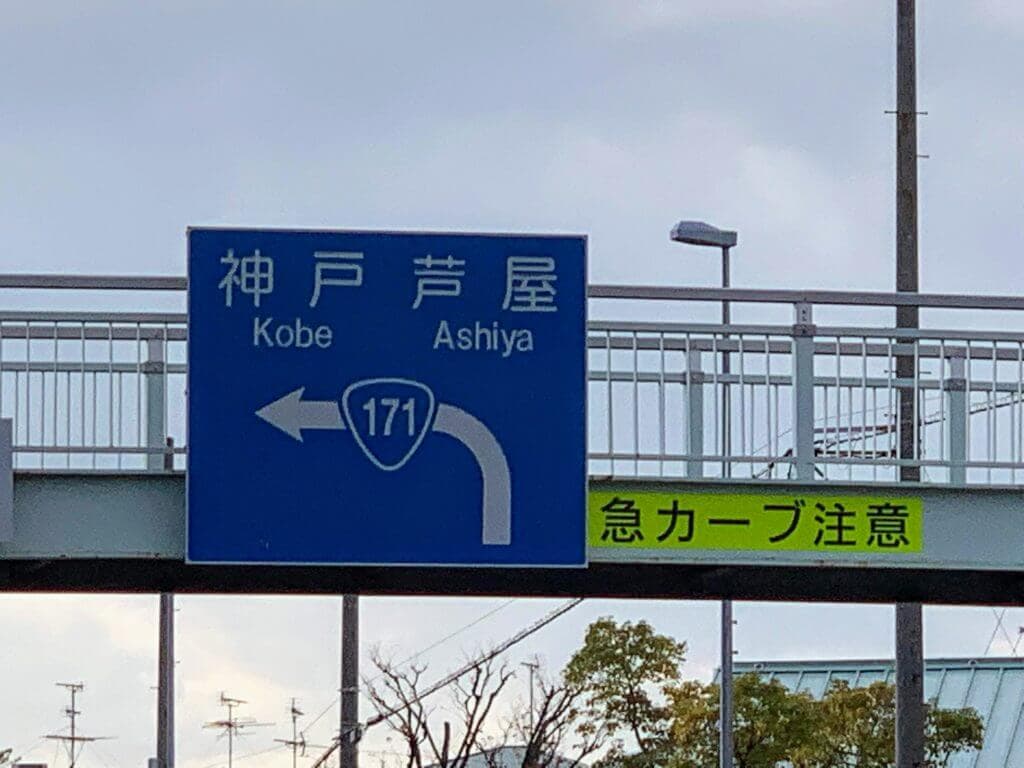
This is the sign just before the national route turns south.
And this is the sign a little before the Fudabasuji intersection.
When you think about it, doesn’t this seem a little strange?
This road is heading south, so if you go straight, you won’t reach Ashiya or Kobe.
The road that goes toward Ashiya and Kobe is the familiar National Route 2, right?
So what’s going on?
It turns out that the endpoint of National Route 171 is not the Fudabasuji intersection, but Kobe.
It says so here↓
Cabinet Order No. 58 of 1965: Cabinet Order Designating the Routes of General National Highways
If you think about it that way, it isn’t wrong to say that “if you continue along National Route 171, you’ll reach Ashiya and Kobe.”
However, on the map, National Route 171 seems to disappear at the Fudabasuji intersection.
So where exactly is National Route 171 after the Fudabasuji intersection?
I only learned this after looking into it, but apparently from this intersection to Kobe, National Route 171 overlaps with National Route 2.
I didn’t know roads could work like that~
Since I was there, I took some photos of the surrounding roads from the pedestrian bridge at the Fudabasuji intersection.
The road on the south side is a city road called “Fudabasuji Line.”
If you go straight, you’ll reach Nishinomiya Bridge.
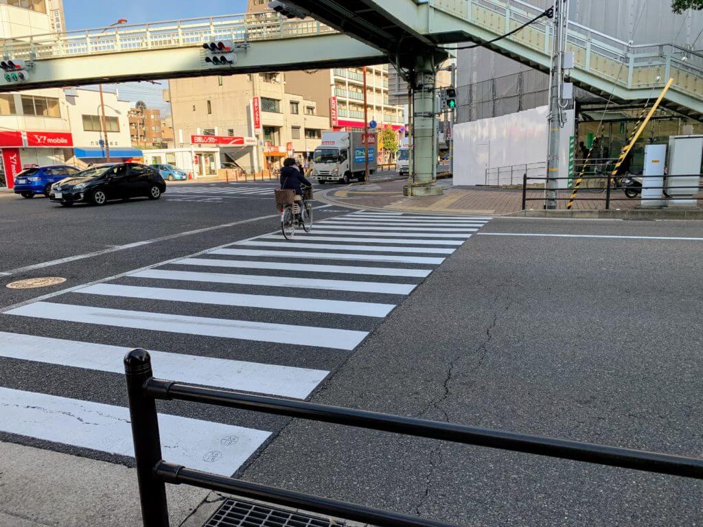
Maybe this is the boundary between the city road and the national route.
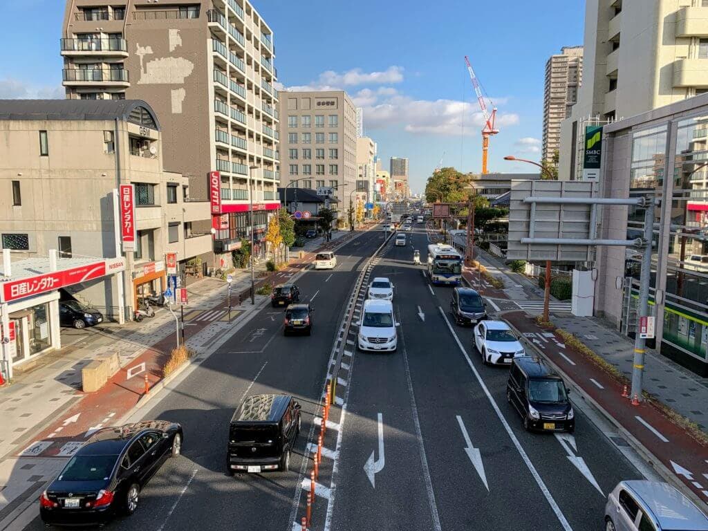
This is the east side.
That’s National Route 2, also known as the old Hanshin National Highway.
To the north is National Route 171.
It stretches all the way to Kyoto.
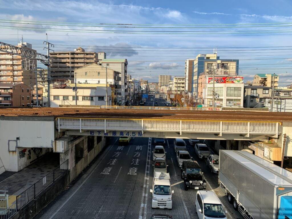
And this is the west side.
So this road is both “National Route 2” and “National Route 171.”
Apparently, there are many places across Japan where roads overlap like this, and in those cases, signs and maps tend to prioritize “national routes” and then the route with the lower number.
That’s why it looks like National Route 171 disappears here.
From now on, when I head west from Fudabasuji, I’ll try to remember, “This is also National Route 171.”