
The other day, for a project where we measured temperatures around Nishinomiya, which we wrote about in an article, I climbed Mt. Kabutoyama for the first time in a while.
I took a few photos while I was there, so I thought I’d show you what the summit of Mt. Kabutoyama looks like.

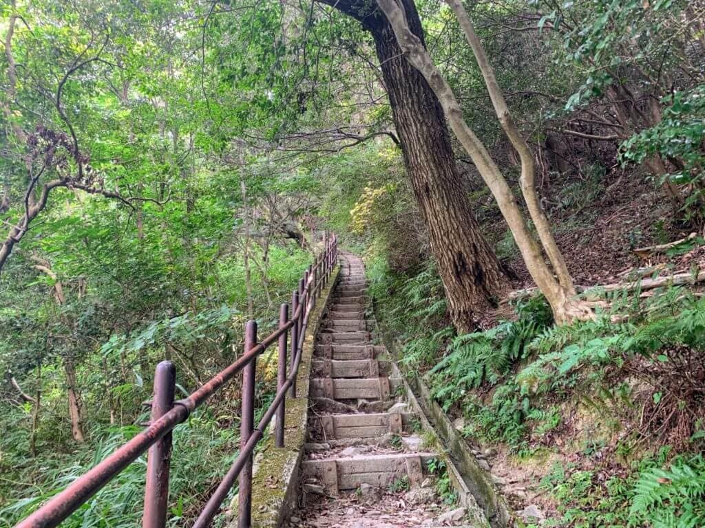
There are several routes up Mt. Kabutoyama, but this time I started from “Kabutoyama Shizen no Ie.”
You can see “Miyatan no Ie,” which we’ve also covered on Nishitsu.
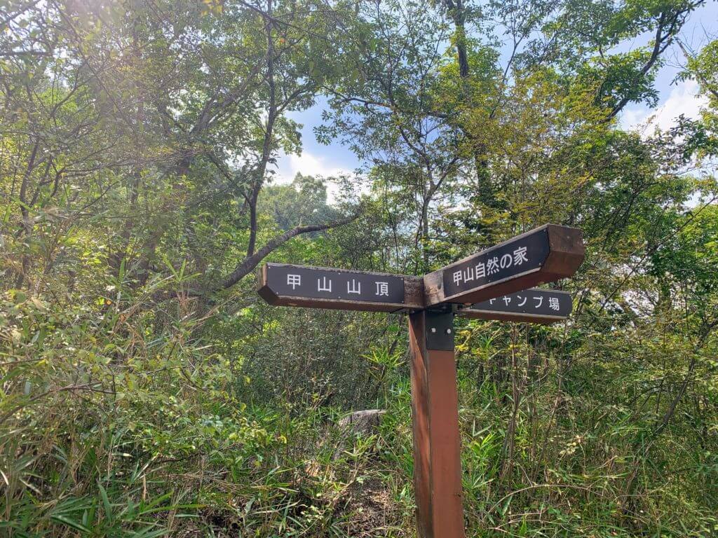
There are signposts at key points, so you won’t get lost.
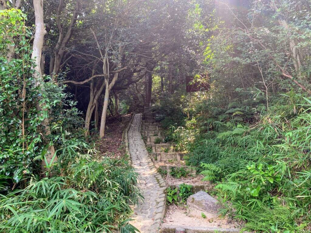
Much of the trail is well maintained like this, making it very easy to climb.
It’s not a particularly high mountain, so it takes about 10 to 15 minutes to reach the summit.
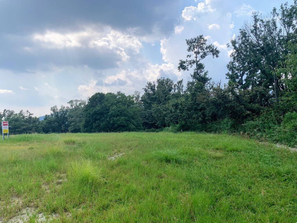
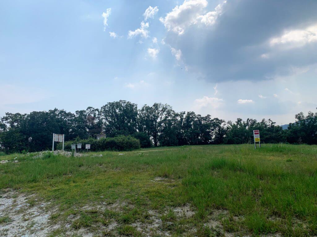

This is what the summit looks like.
It’s an open plaza, and on weekends many people come here with their children to play, but since this was a weekday, there was no one around (and it was really hot).
Please note that there is no shade at all.
Matome


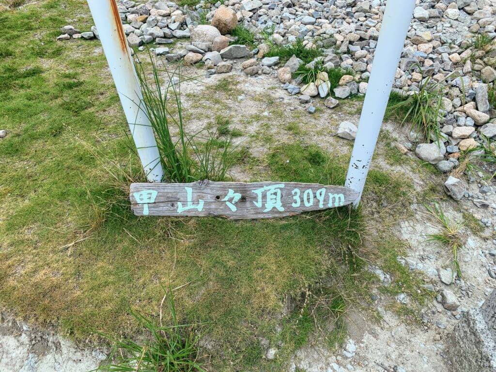
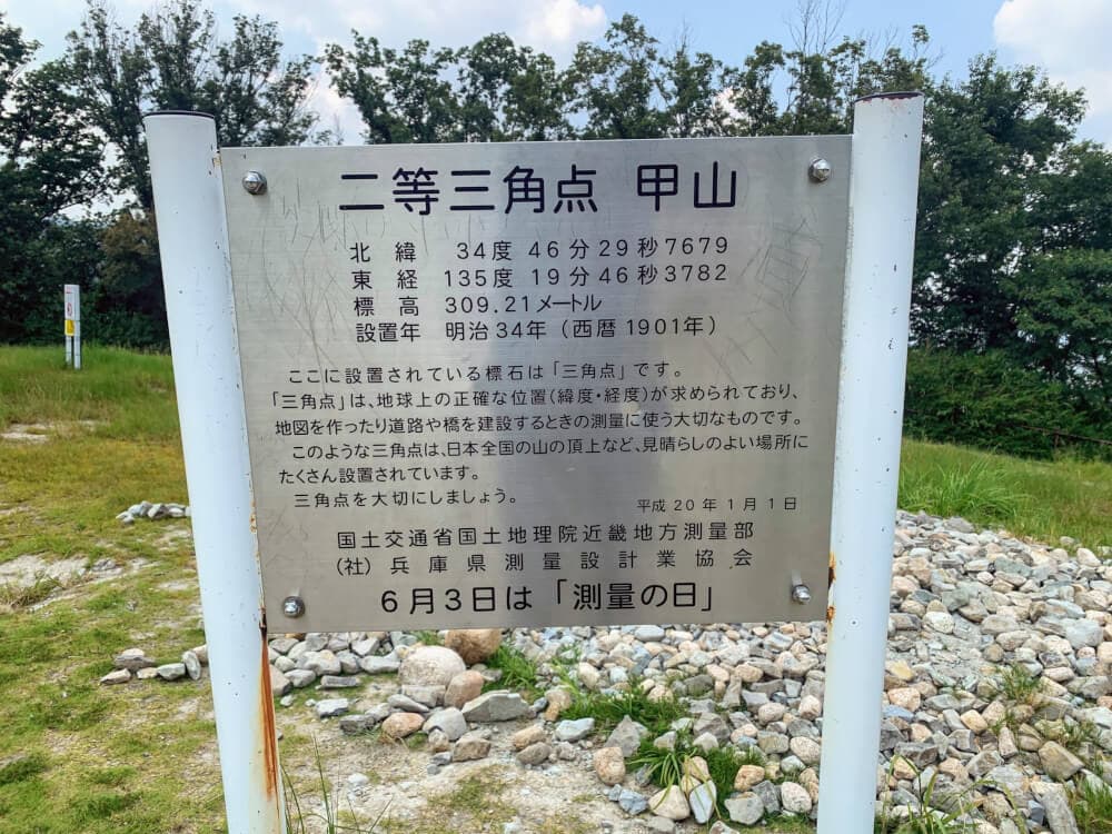
There is a triangulation point at the summit, and an explanatory sign next to it.
It’s rare to see a triangulation point with an explanation like this.
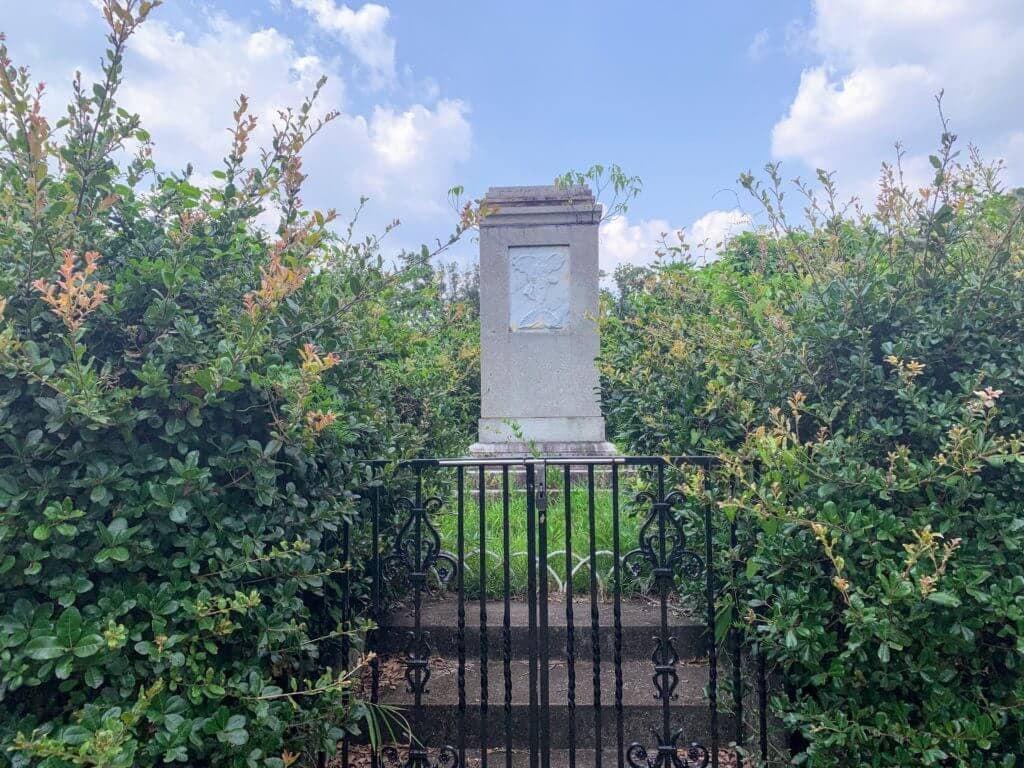
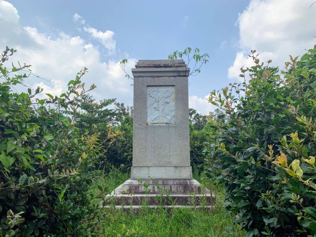

Near the edge of the summit stands this “Peace Tower.”

Here’s the view from the summit.
In winter and other times when the air is clear, you can see much farther into the distance.