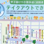
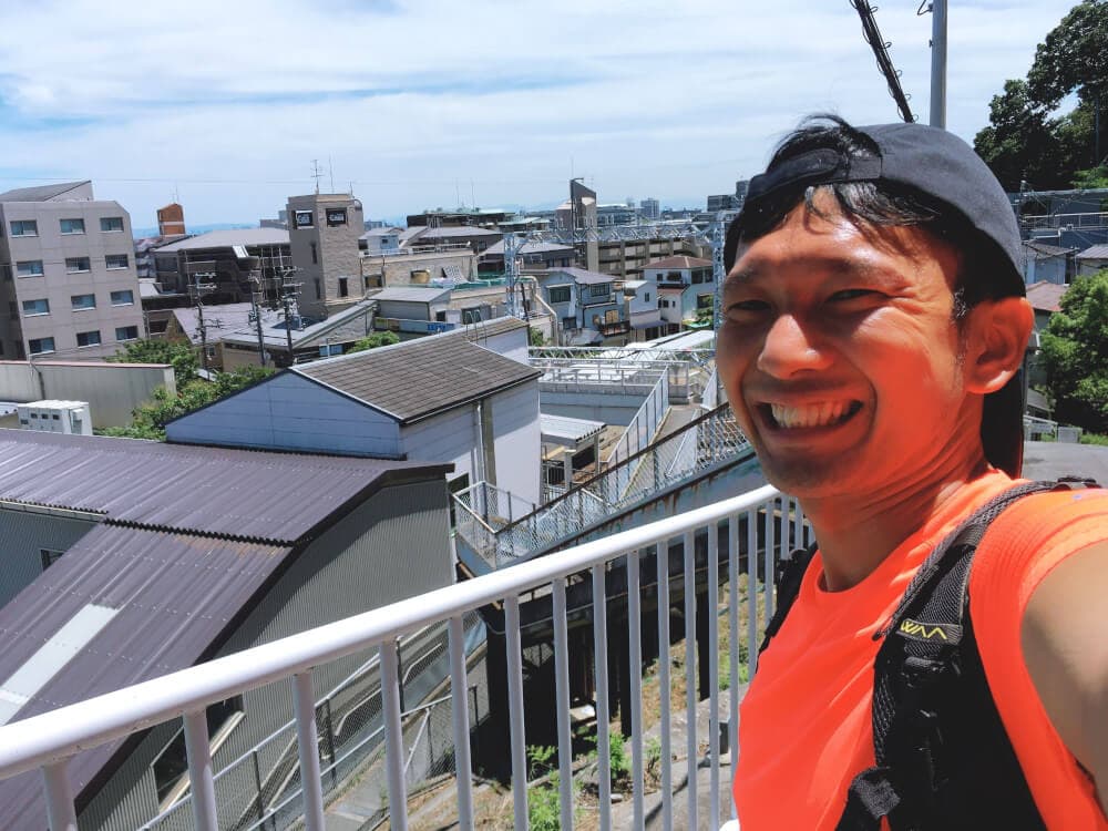
I tried crossing “Kashigamine (461.1m)” from Takarazuka and making my way back to Nishinomiya!
Kashigamine is a mountain located even farther beyond Kabutoyama, on the border between Takarazuka and Nishinomiya.
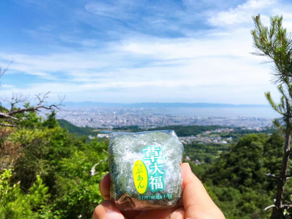
On this day, when the high was 30°C, I packed my bag with plenty of water and kusa daifuku, and off I went!

openstreetmap.org↑
Course Overview
Hankyu Obayashi Station (start) ⇒ Trailhead (Eden no Sono) ⇒ Kashigamine (457m) ⇒ Rokko Hoyoso ⇒ Hankyu Shukugawa Station (goal) [Total distance: about 14km]
The starting point is the west ticket gate of Hankyu Obayashi Station.
First, I ran 4.2km toward “Eden no Sono” (a retirement home), where the trailhead is located.
Apparently there’s also a bus to Eden no Sono, but I am the kind of guy who will die if he doesn’t run.
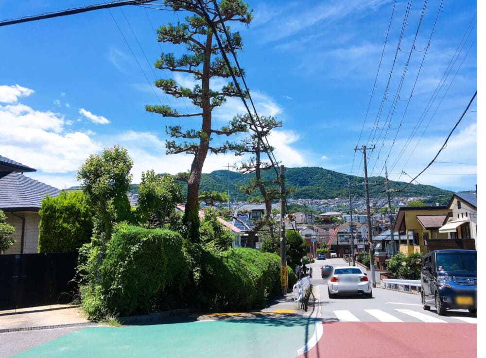
The weather was unbelievably nice!
In some spots, the asphalt shimmered like a mirage.
A gentle slope continues on and on for about 4km.
The trailhead is beside the parking lot next to “Eden no Sono.”
Believe it or not, the elevation here is already 292m! (according to Google Maps)
I hadn’t even started the climb yet, and I was already drenched in sweat!!!
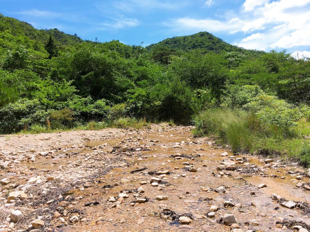
If you go left from the entrance, a riverbed opens up.
I hopped across carefully so my shoes wouldn’t get wet.
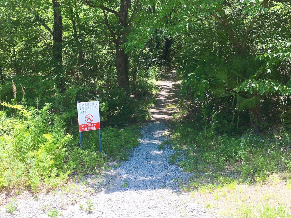
I found a sign for “Kashigamine”!
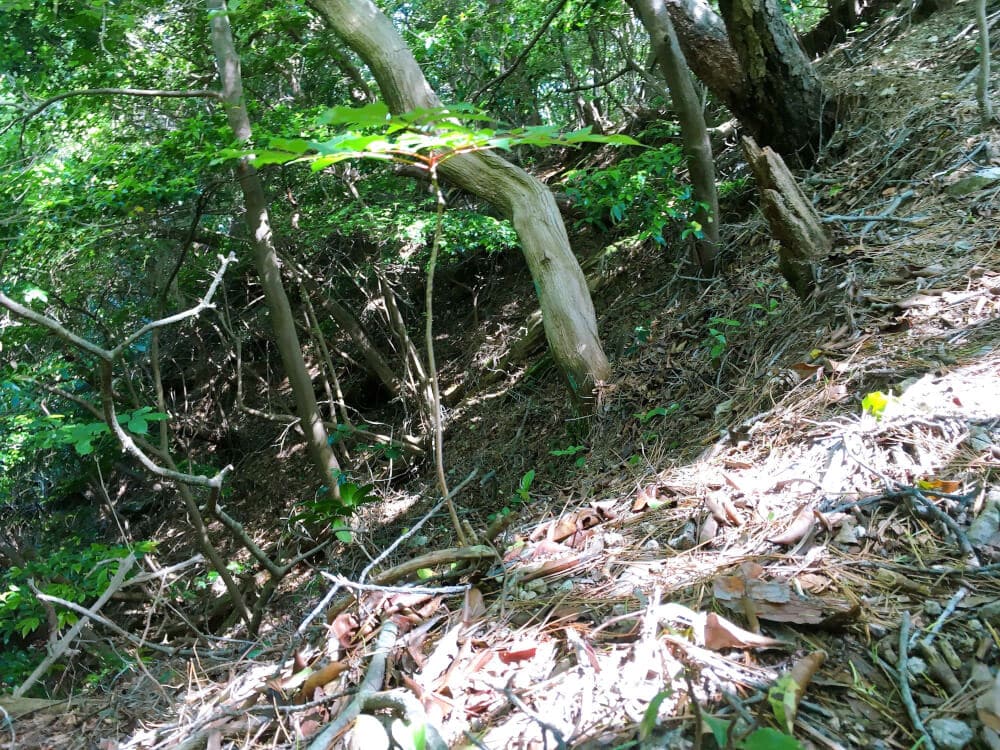
This is the forest trail, recommended for experienced hikers. Here’s what it looks like! Video below↓
Near the entrance to Kashigamine’s “Forest Trail”
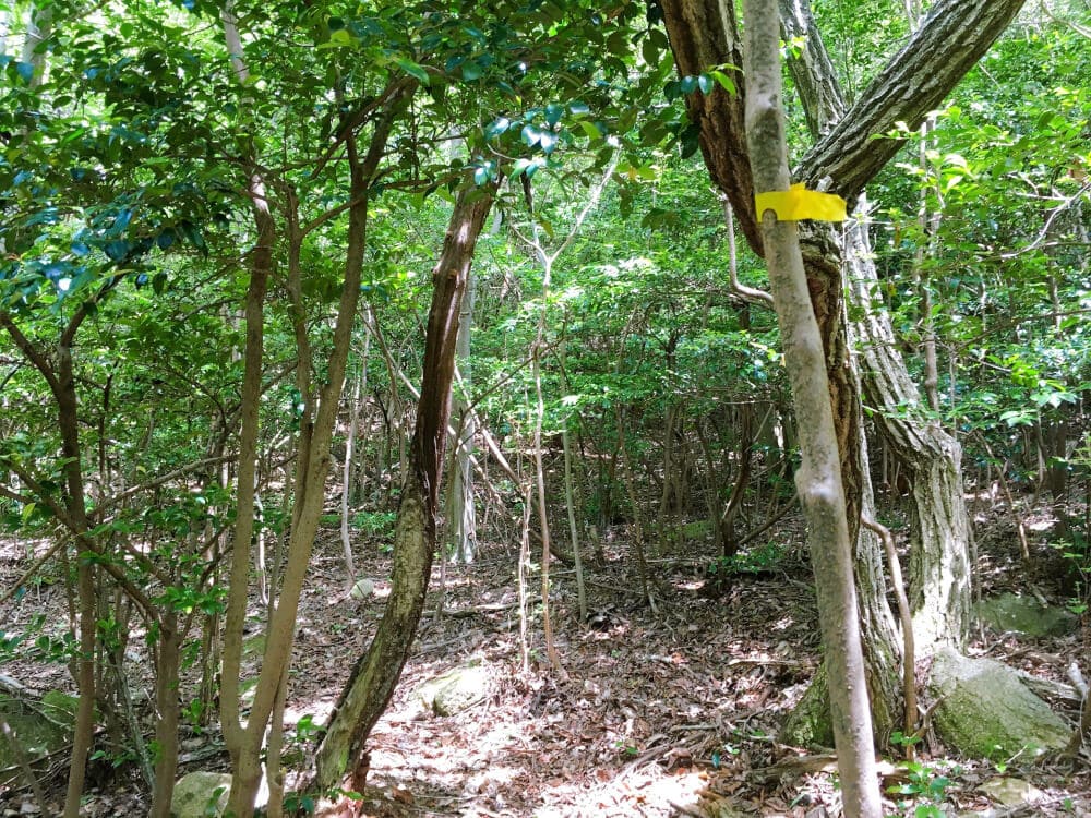
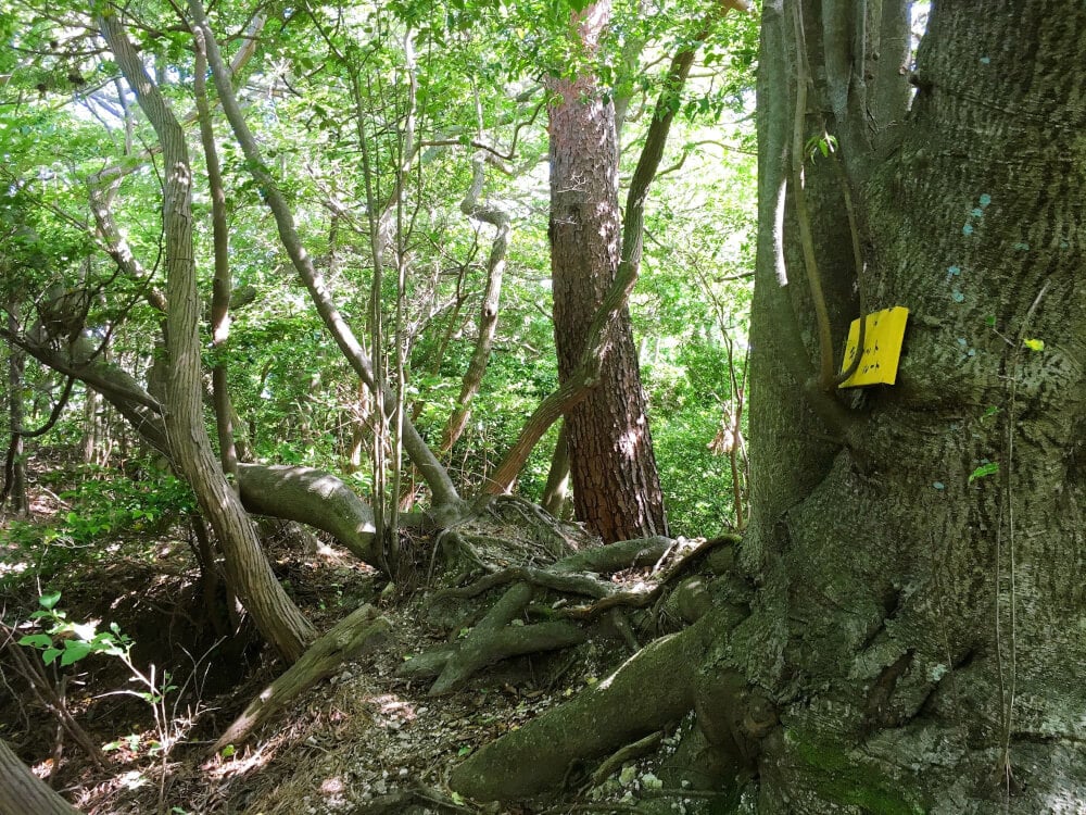
Yellow and red tape serve as trail markers.
Without these, it would definitely be easy enough to get lost.

At this point, running is no longer possible!
I changed into long sleeves and long pants, then just kept climbing the mountain path.

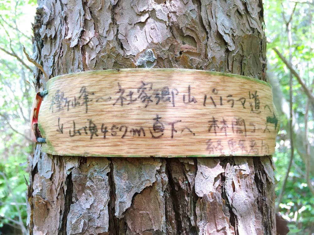
Just when I thought, “Finally, it’s starting to flatten out,” there was a really hard-to-read sign!
From the top, it says Kashigamine summit, elevation 461.1m (slightly different from OpenStreetMap), and 152m higher than Kabutoyama.
Here’s what the summit looks like↓
Kashigamine summit
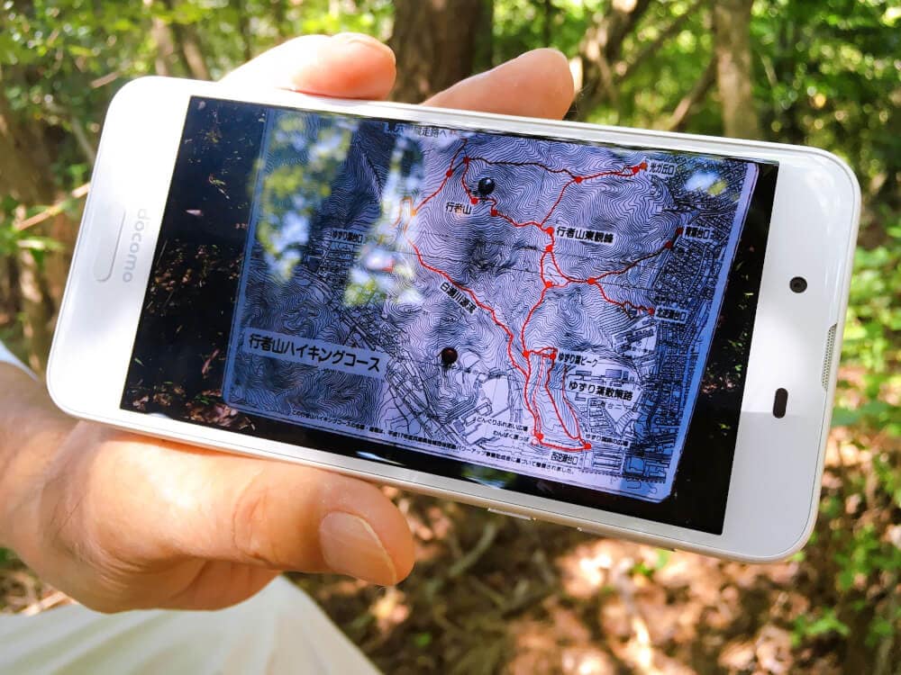
A kind gentleman I met while hiking at the summit showed me his map.
Encounters in the mountains are really nice, aren’t they? ^^
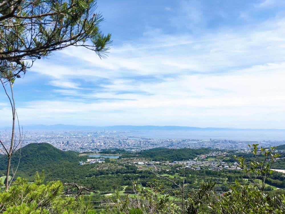
He told me, “If you walk 200 to 300 meters west from the summit, you’ll get a great view,” and this is what I saw!
Amazing!! ✨
Video here↓
The spectacular view beside Kashigamine summit
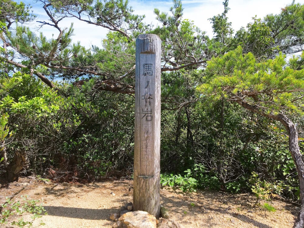
From there, I moved a few hundred meters west toward the descent route and arrived at “Uma no Se Observatory”!

A rugged rocky area spreads out here.
The view from here is stunning too!
Eating kusa daifuku while taking in this scenery makes it taste even better!!
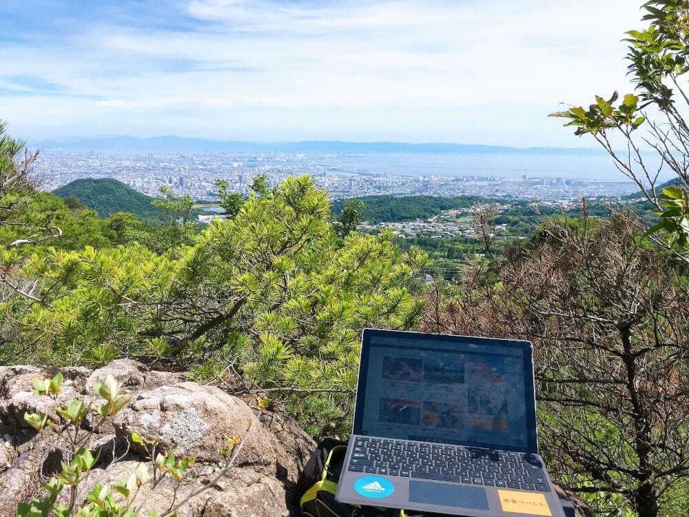
While taking a break, I did some extreme remote work at Uma no Se Observatory!
Working while enjoying the view—how about trying this new work style for yourself? ✨
As I started descending, I found an incredibly beautiful tree, still about the size of a sapling.
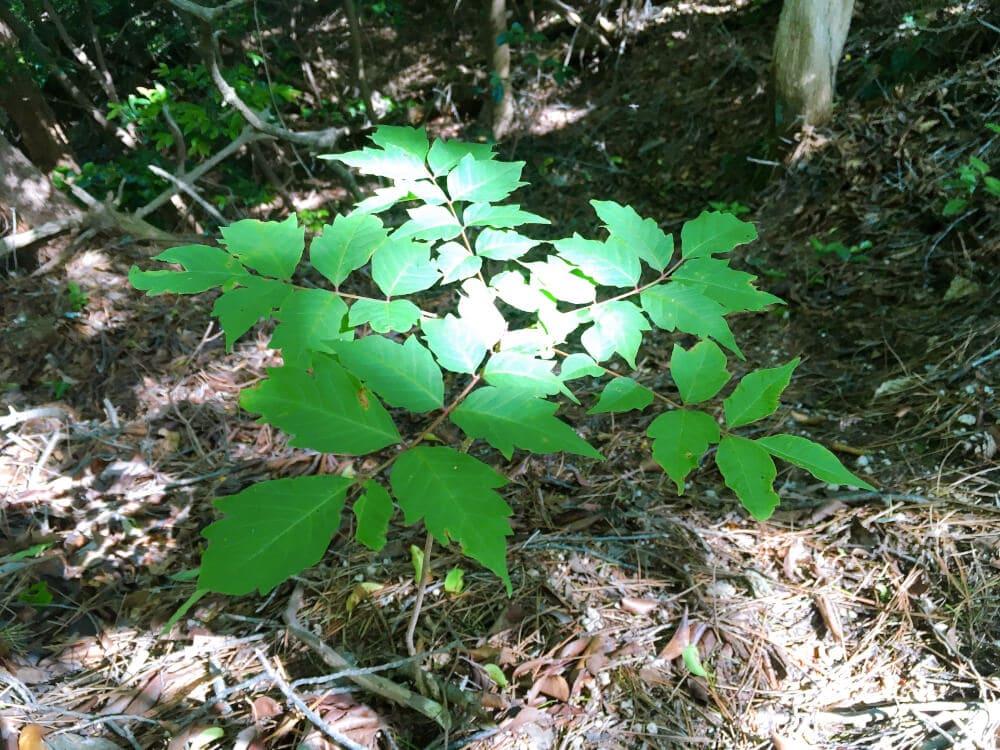
It was as beautiful as a crest.
The way the light hit it looked divine!
I wonder what kind of tree it is.
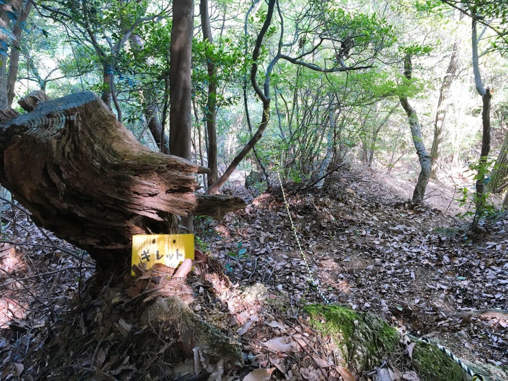
I also found a sign that looked like a cute face.
Made it safely down the mountain!
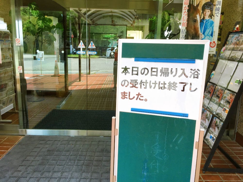
I arrived at “Rokko Hoyoso”!
Day-use bathing… it’s only around 16:00, but reception is already closed!!!
(TOT) Nooo!
Their website says it’s open until 18:00! It may be due to COVID-19. Nothing can be done about that!
In Closing
I gave up on the day-use bath and ran 5.8km downhill from “Rokko Hoyoso” to “Hankyu Shukugawa Station”!
Getting your body moving really does feel great!
I’d love to do another fun fitness-related project set in Nishinomiya together with everyone!
Please join us enthusiastically♪
Sensei @ Nishi2’s “Hidden Room”
Fun info just for true Nishi2 fans who made it this far (click Next Page)↓
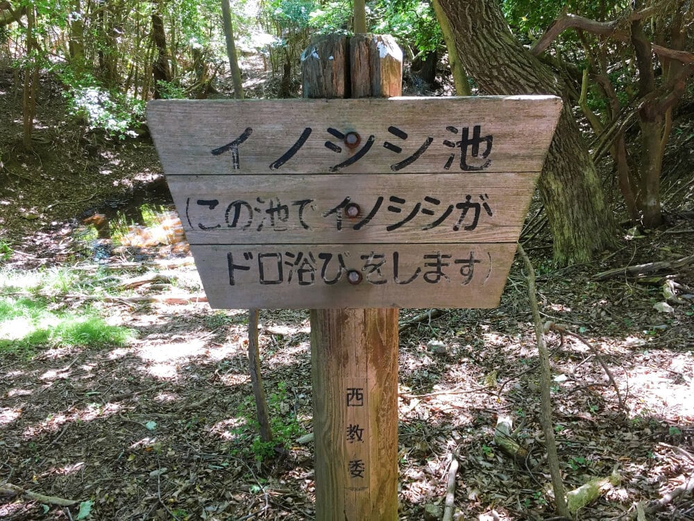
Discovered while descending Kashigamine: “Inoshishi Pond”!
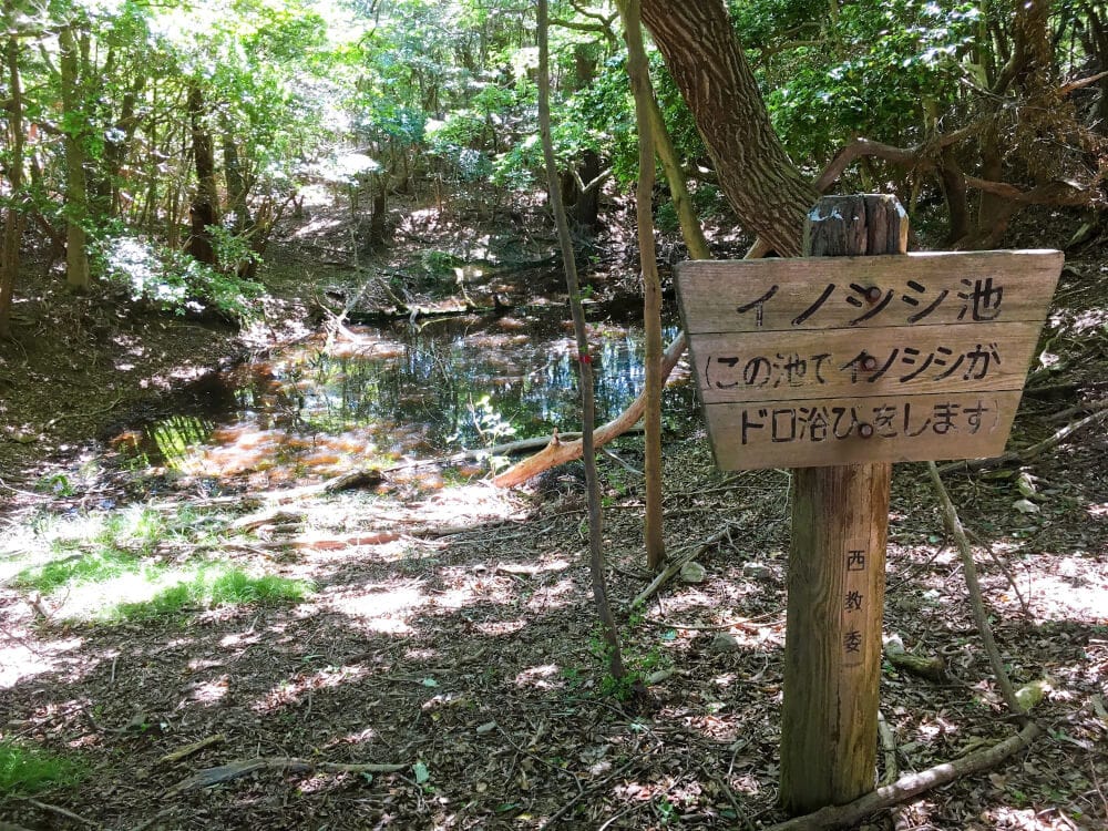
I never knew Nishinomiya had such a deep hidden spot…
It’s in the mountains between Kashigamine and Rokko Hoyoso.
Video↓
Discovered “Inoshishi Pond”!!
Yellow signs were set up all over the place.
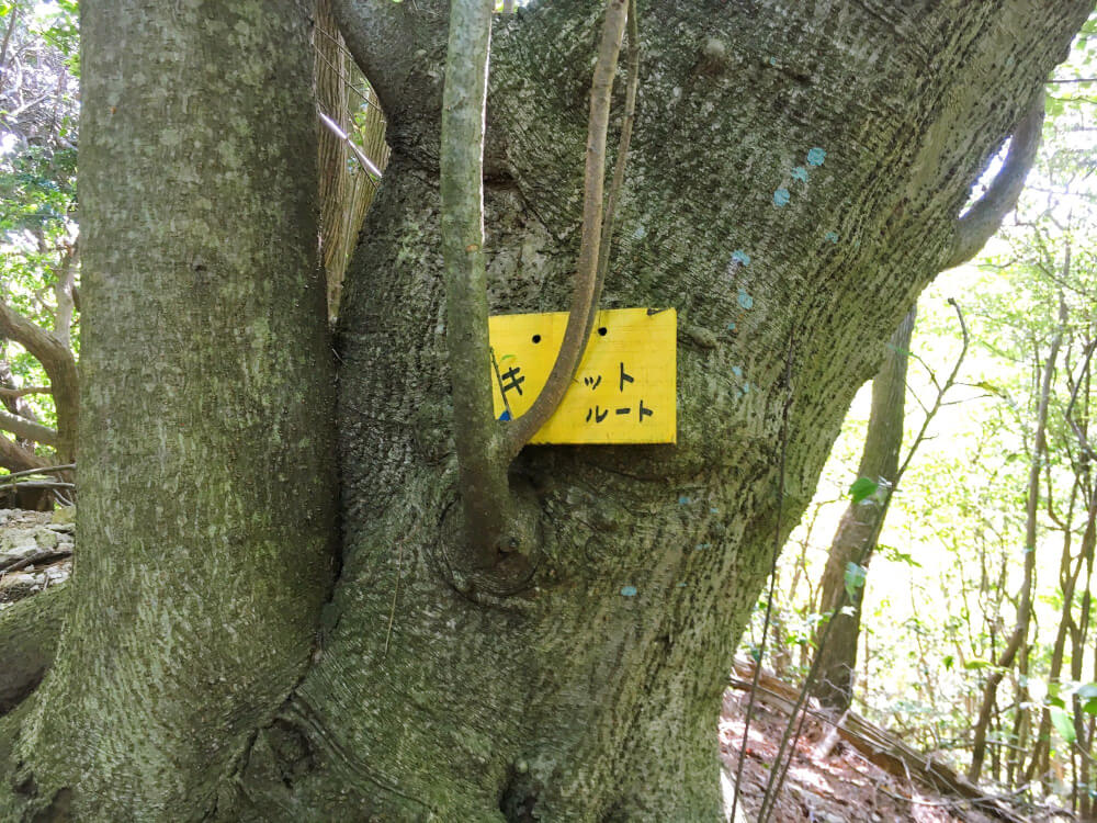
“Kit Route”!?
“Kitto Route”… maybe a route, probably a path…??
It made me really worried