A regular feature where we simply introduce the borders between Nishinomiya City and its neighboring cities: “Nishinomiya City Borders”
Incidentally, 市境 is apparently read as “shikyo,” not “shizakai.” Though you can’t convert it that way when typing.
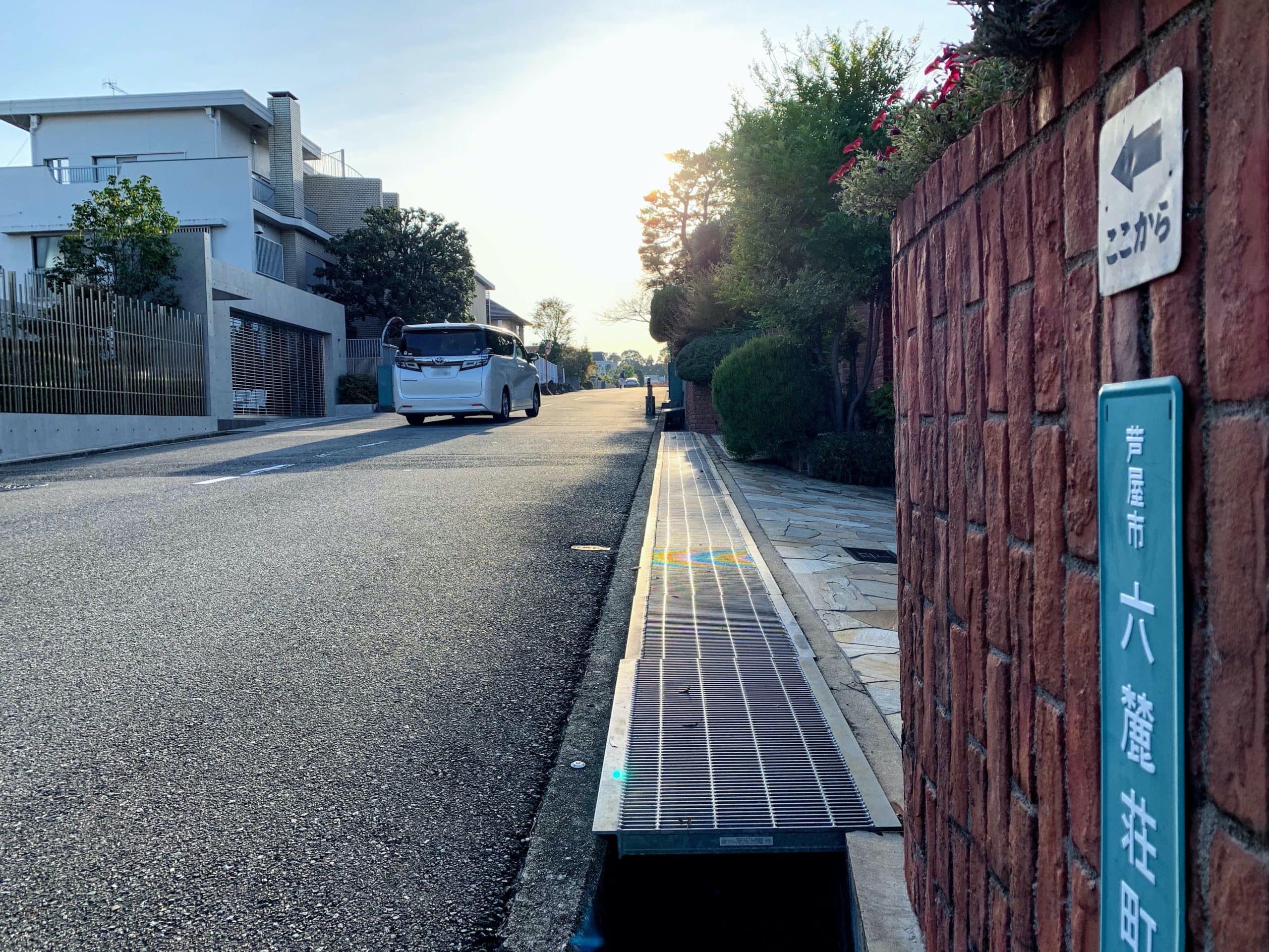
This time, we went to the city border between Kurakuen Rokubancho and Rokurokuso in Ashiya City🚲
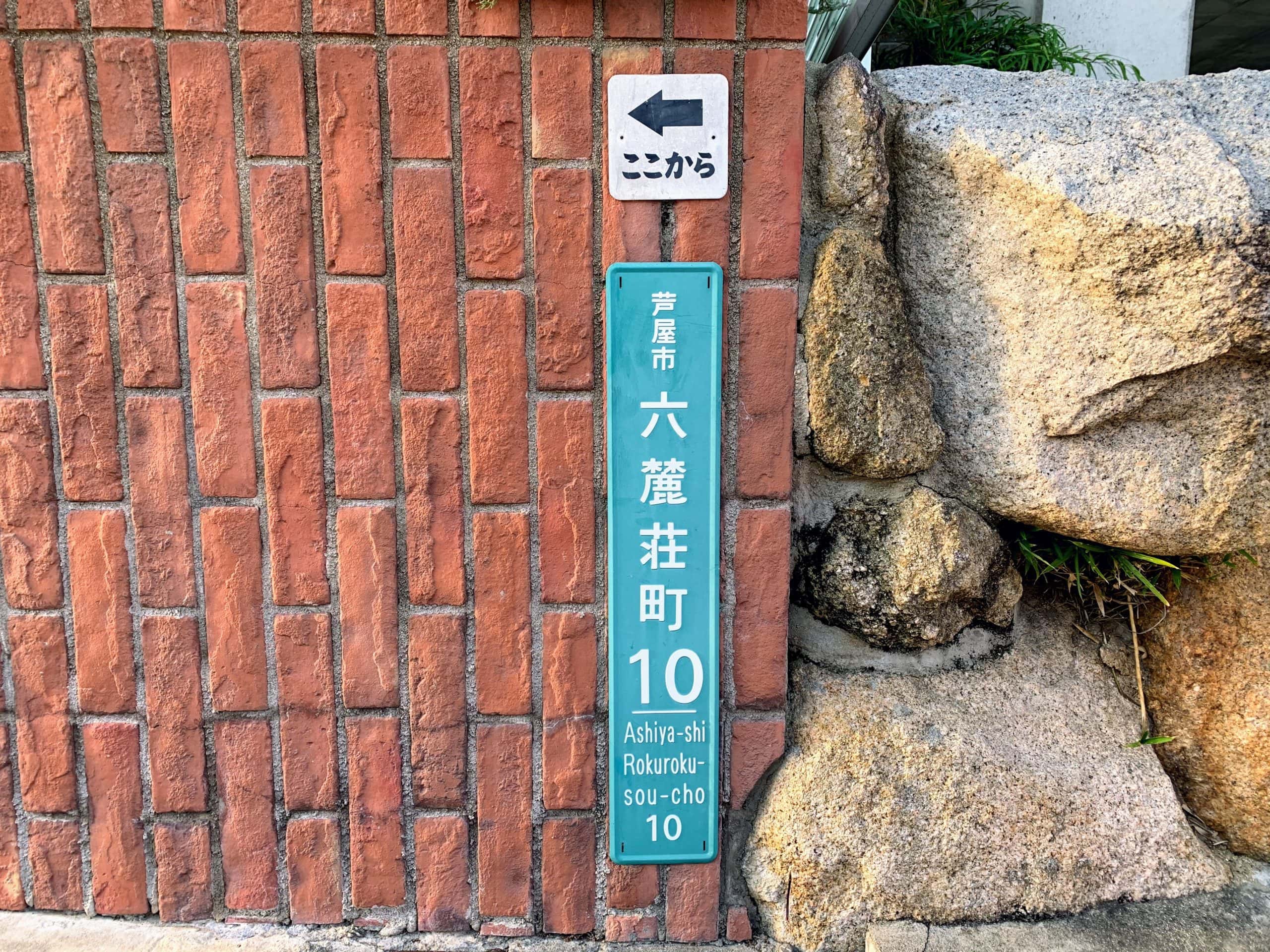
There’s no sign, but instead it’s clearly written “from here.”

I think the city border is roughly the line connecting the speed limit sign and the orange pole.
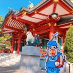
If you head toward Ashiya from here, you go down Hinodezaka and reach Iwazono Tenjinsha Shrine.

If you head toward Nishinomiya, you go up the hill and reach the Kurakuen police box.
Here’s the location↓
This city border is pretty tough to reach by bicycle if you’re coming from the Hinoikecho area.
The road from Seven-Eleven Nishinomiya Hinoikecho Store to the Kurakuen police box (Kurakuen-suji) is a long hill: 800m in distance with an 80m elevation gain.
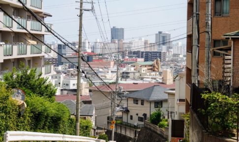
Photo taken from near the Kurakuen police box↓↓
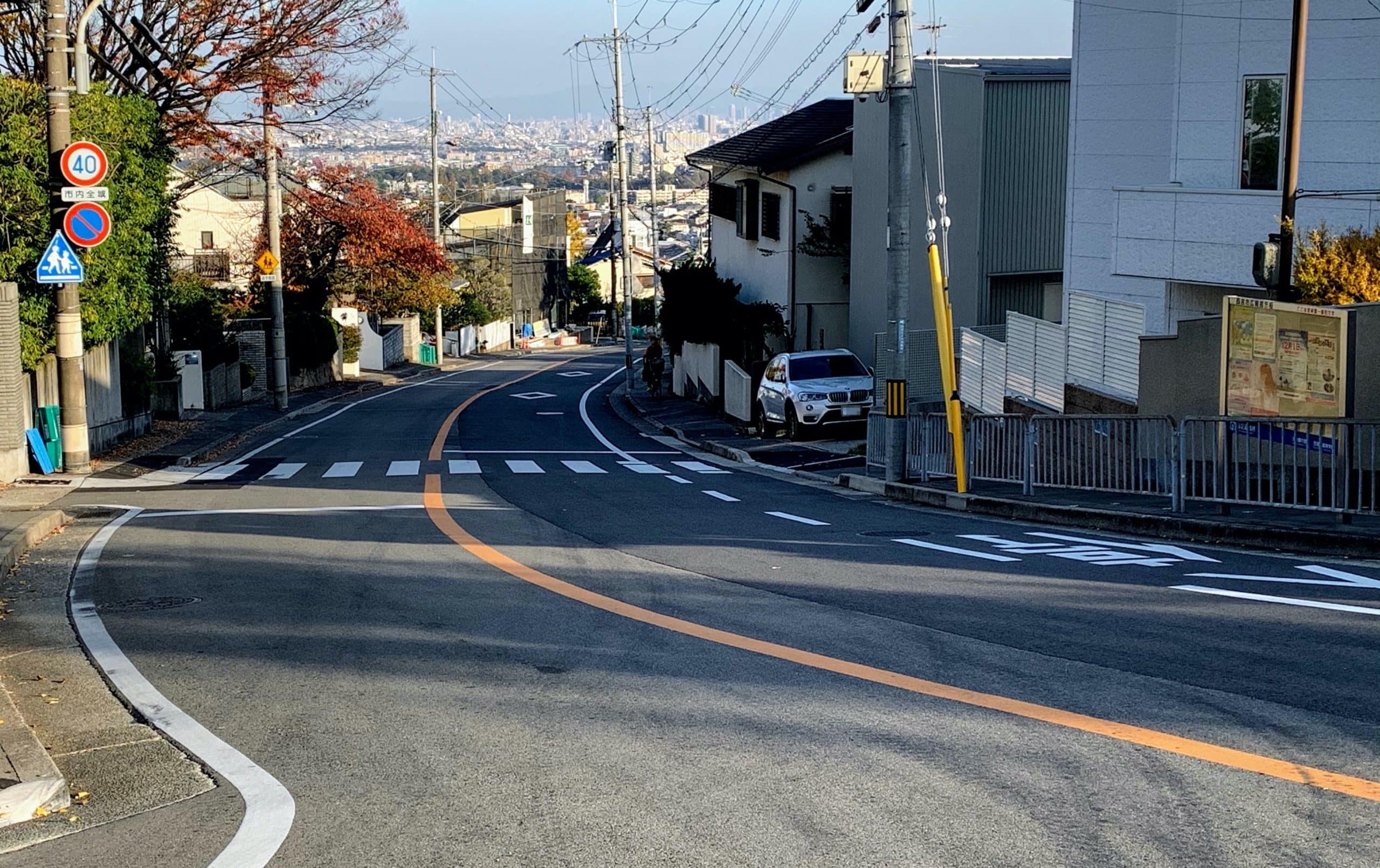
I had my gears on the lightest setting and was moving at about a brisk walking pace, so my legs weren’t exactly screaming. But mentally, it got me when I thought I’d finished the climb and then realized it still kept going. Wouldn’t you think this was the top once you climbed up here?↓↓↓
Google Maps route guidance says it takes 2 minutes downhill and 10 minutes uphill.
I often see people doing Uber Eats by bicycle, but I wonder if they ever have to climb this hill too.
By the way, the yellow slope in Kamigakicho was 230m long with a 26m elevation gain.