As part of my training, I went to Mt. Gorogoro (565.6m), located on the border between Nishinomiya and Ashiya!
The start and finish point was Hankyu Shukugawa Station. The full route is about 16km.
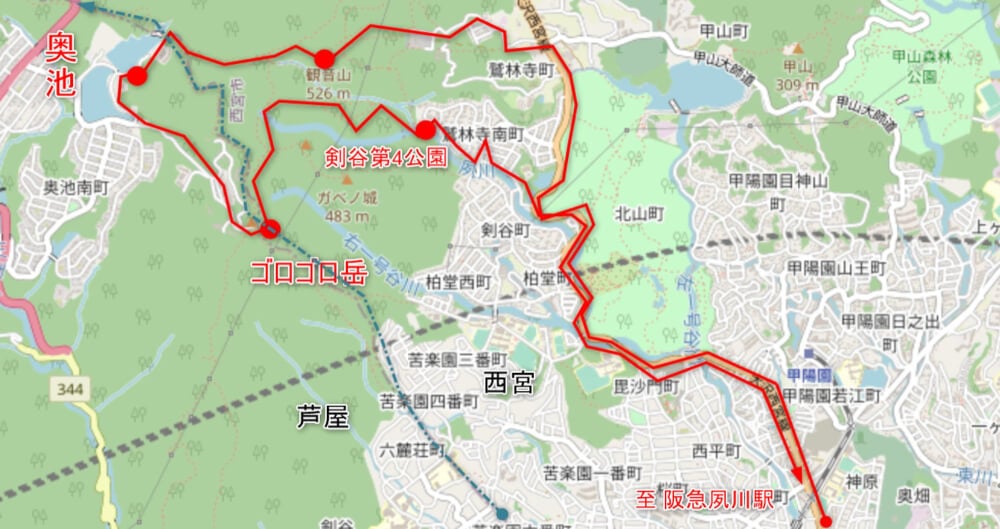
openstreetmap contributors↑
《This Route》
Hankyu Shukugawa Station (Start) ⇒ Jurinji Temple (Panorama Course) ⇒ Mt. Kannon summit (526m) ⇒ Okuike ⇒ Mt. Gorogoro (565.6m) ⇒ Kengatani No. 4 Park ⇒ Hankyu Shukugawa Station (Finish)

Another beautiful sunny day! The high was close to 30℃♪
And we’re off!!
I ran north along the Shukugawa River.
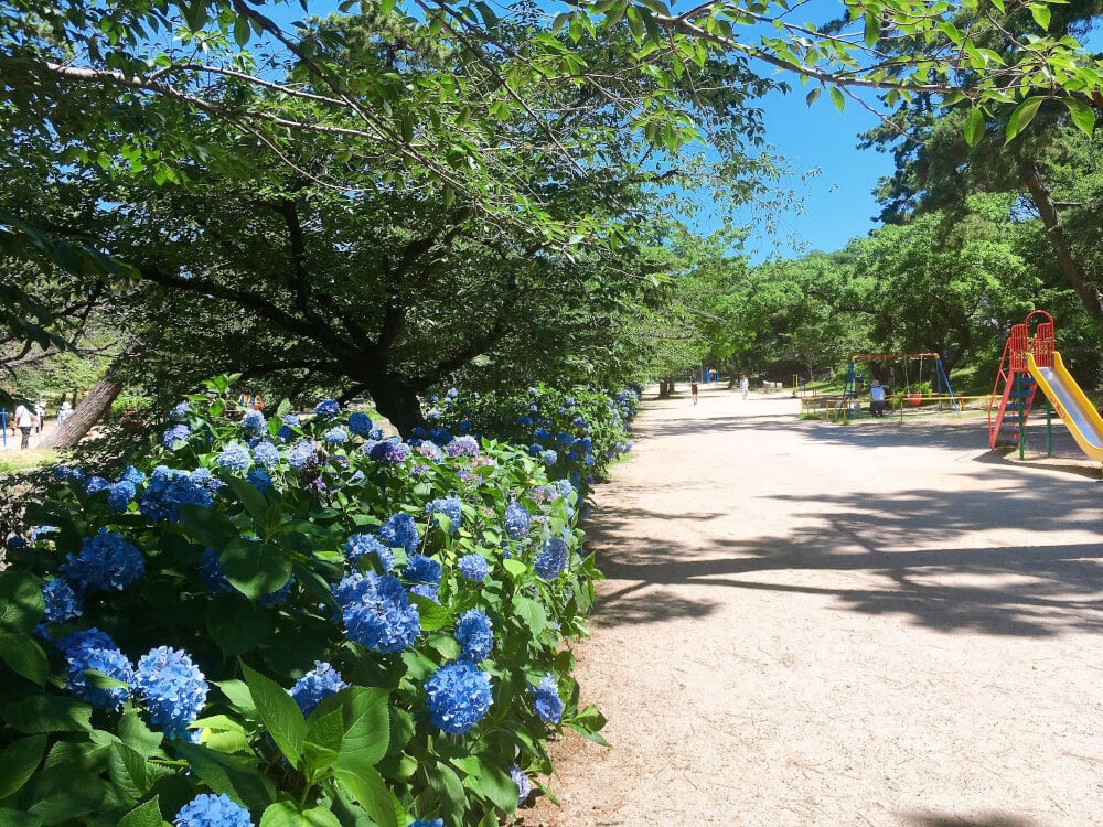
The hydrangeas are absolutely beautiful✨
Mt. Kannon summit (526m)
For the route up to here, see our previous article below↓
We went to see the spectacular view from Mt. Kannon, beyond Kabutoyama’s “Jurinji Temple”
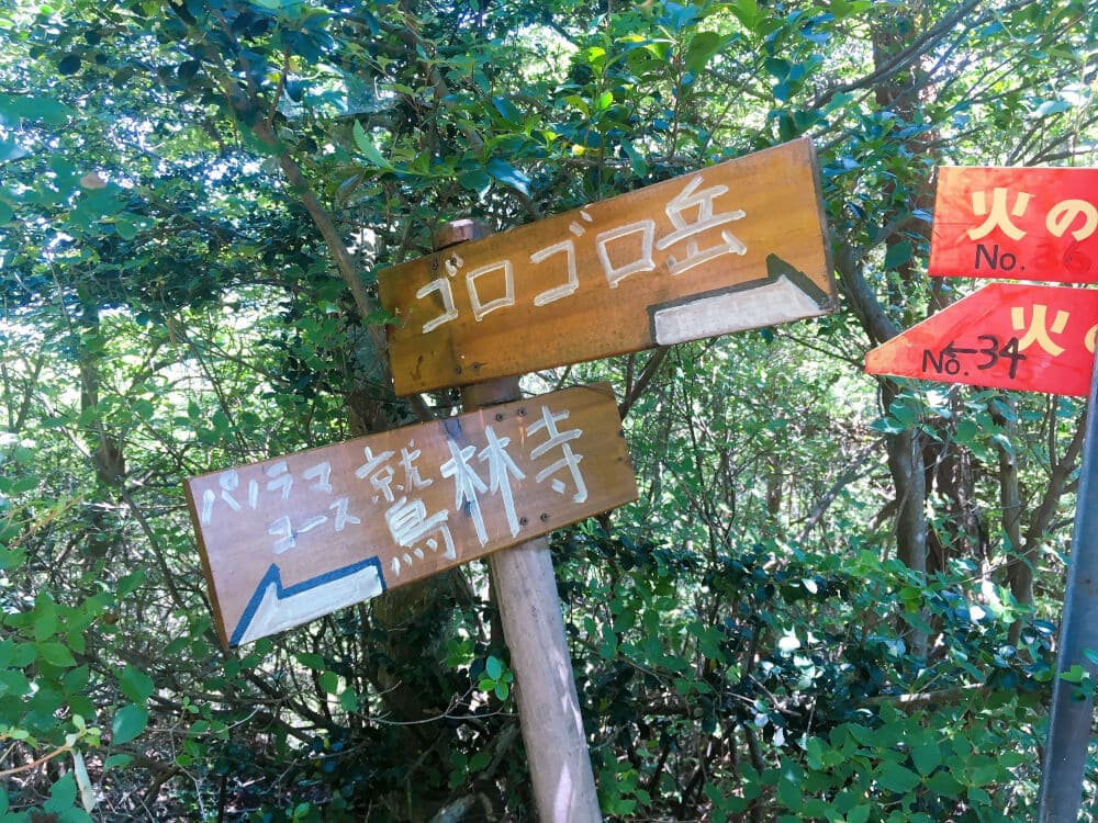
This time, I headed west from the summit of Mt. Kannon toward Ashiya.
Gorogoro-dake is such a great name!

Since it’s the rainy season, some parts of the trail had turned into little streams.
Even when it’s sunny, don’t let your guard down!
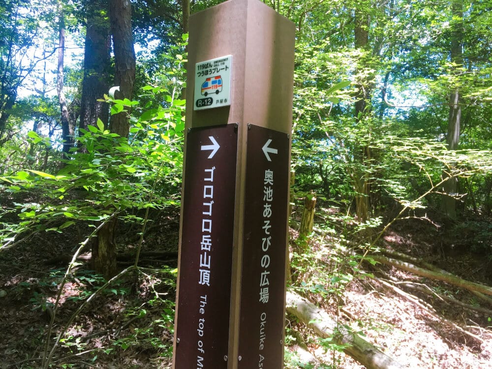
On the way to Mt. Gorogoro, I found a sign for “Okuike Asobi no Hiroba.”
I want to play… but I have to head for the summit.
But I still really want to play.

I made a detour to “Okuike Asobi no Hiroba.”
【Video】A turtle got there before me and was floating around, looking like it was having fun.
The border between Nishinomiya and Ashiya runs right through Okuike.
The spot where I was standing was Nishinomiya, while the turtle was in Ashiya—such a perfect little position (see Google Maps).
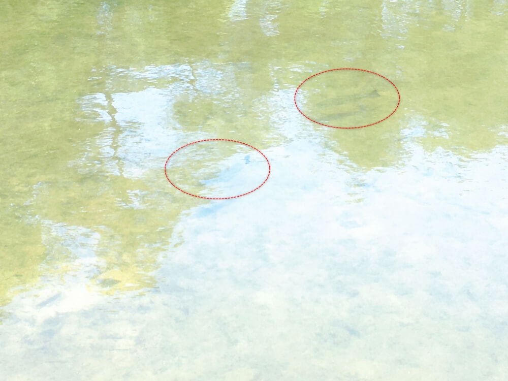
Two fish silhouettes.
…They’re black bass!!!!
They were swimming back and forth between Nishinomiya and Ashiya.
Were they born in Nishinomiya, or in Ashiya?
【Video】Black bass in Okuike

It’s called a “play area,” but swimming and fishing are prohibited.
By the way, besides turtles and black bass, there were lots of nishikigoi carp in Okuike!
【Video】Nishikigoi in Okuike
Detour over!
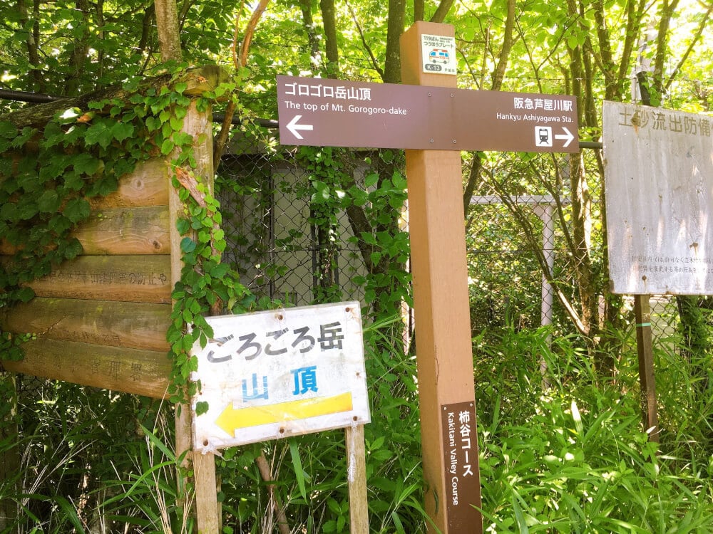
From “Okuike,” I headed for the summit of my destination, “Mt. Gorogoro.”

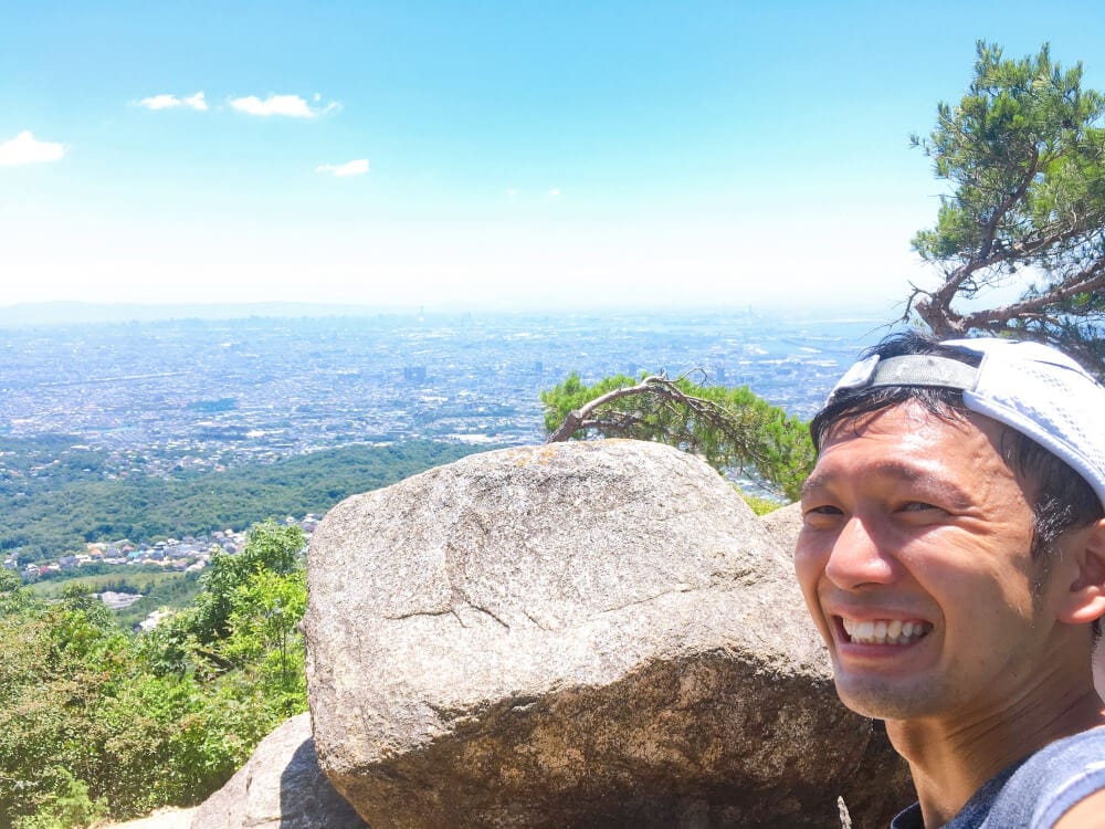
Arrived at the summit!
It really says 565.6m!!
Apparently, it’s “the only mountain in Japan named after its elevation”!!
By the way… apparently its elevation changed due to the Great Hanshin-Awaji Earthquake, and the current official elevation is 565.3m.
Time to head down!
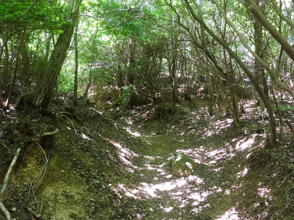
Looking for a route I hadn’t taken before, I went onto a “narrow animal trail along the stream.”
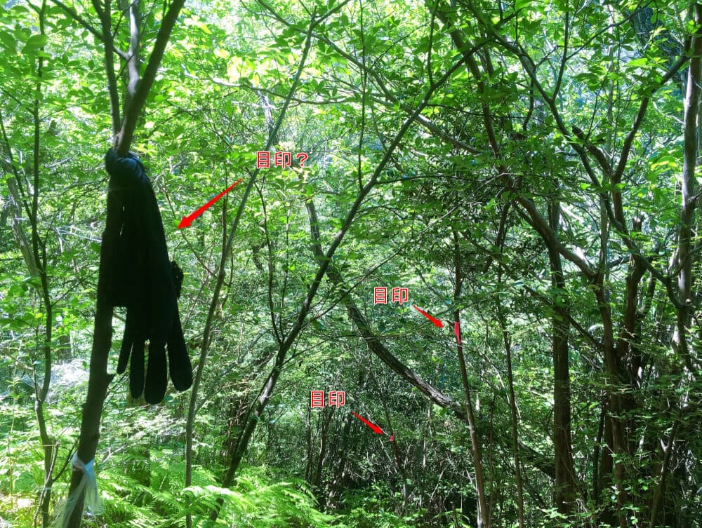
The path is really hard to follow, so someone had kindly left markers.
Even a glove. Haha
Much appreciated!!✨
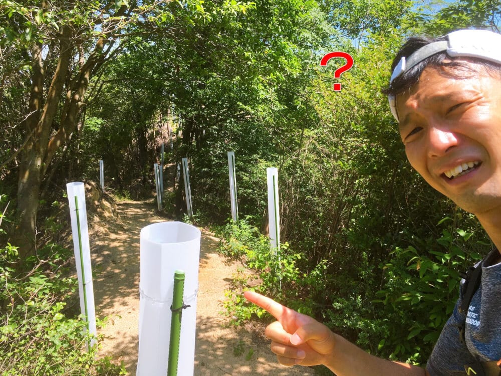
In a slightly open area, I found a mysterious white pole.
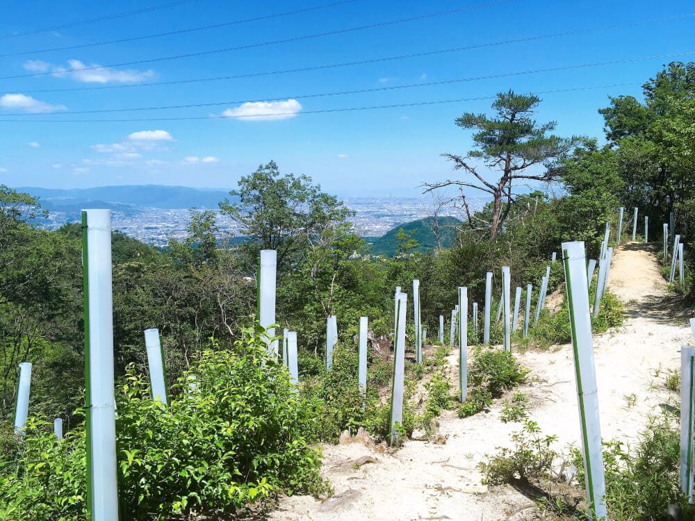
White poles all over the place… are these grave markers!?
For details, see the article “A huge number of mysterious white poles are stuck into the mountain”
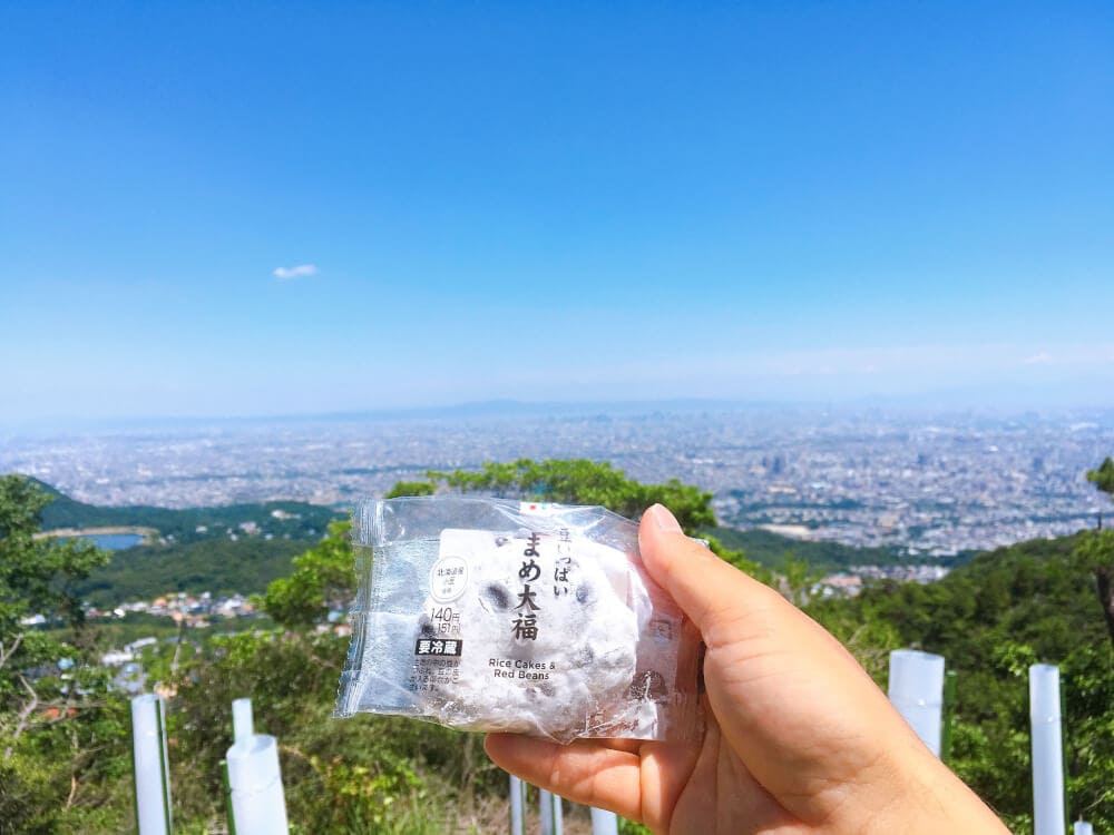
After descending, I refueled before running back to Hankyu Shukugawa Station!
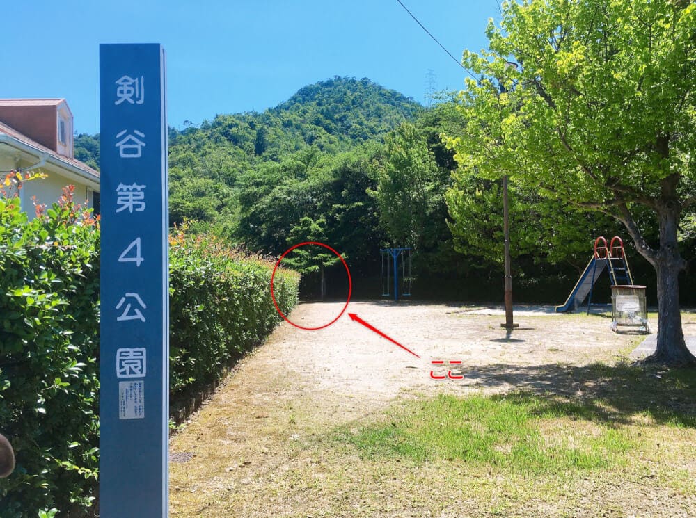
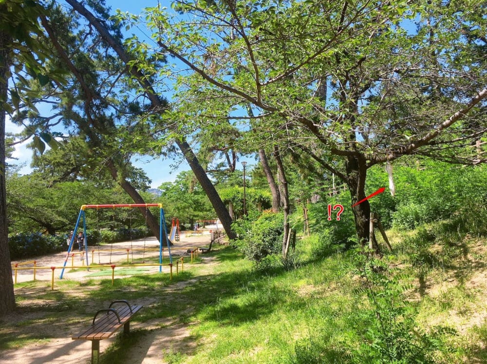
The trail came out beside “Kengatani No. 4 Park” in Jurinji Minamimachi.

If a sweaty, deeply tanned middle-aged guy suddenly burst out from a place like this, the kids playing there would be pretty surprised, wouldn’t they?
I jogged leisurely along the Shukugawa River toward the finish.
Something’s hanging from a tree.

It’s a stylish umbrella.
Hope its owner finds it.
Finally
Hiking in Nishinomiya is generally around 400–600m in elevation, and many routes have plenty of signposts, so I think they’re easy for beginners to walk. Why not try “hiking” as one way to get some exercise on your day off?
It also seems that buses run to near the trailheads in many places!^^